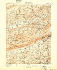
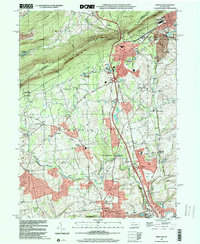
1914 Map of Wind Gap
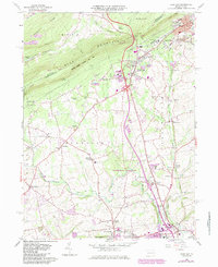
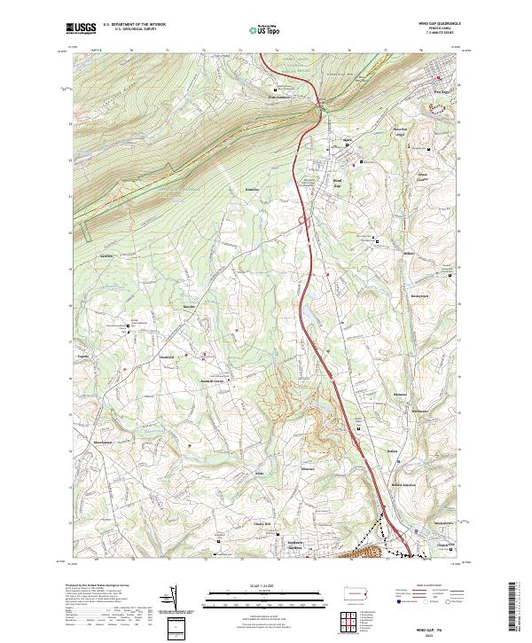
USGS Topo · Published 1956About this map
Blue Mountain serves as a massive geologic spine across this 1914 survey, dividing the ridge-and-valley landscape of Monroe and Northampton Counties. This era is defined by the heavy infrastructure of the Lehigh and New England RR and branches of the Delaware Lackawanna and Western RR, which service the region's industrial hubs like Pen Argyl and the slate-producing center at Chapman Quarries. The map reveals a dense network of early 20th-century rural education, featuring numerous named institutions such as the Michael Valley School, Bushkill School, and Steckel School.
Find a feature on this map
111 named features on this map. Tap any name to fly to it.
Don’t see what you’re looking for? This feature index may not catch every label — zoom into the map to look around manually.
Map Details
Editions of this 1914 Wind Gap Map
This is the sole edition of this map. No revisions or reprints were ever made.
Historical Maps of Pen Argyl Through Time
8 maps found