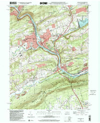
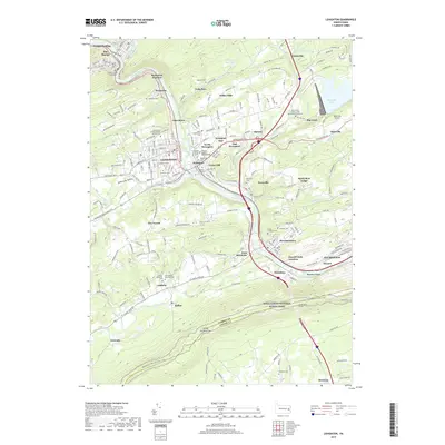
1922 Map of Lehighton
USGS Topo · Published 1959About this map
The Lehigh River carves a path through this mountainous landscape, serving as the industrial and transit corridor for the New Jersey Central Railroad and Lehigh Valley Railroad. In the early 1920s, this area was defined by its valley towns and the imposing natural barriers of Summer Mountain and Mauch Chunk. The rugged topography is punctuated by deep gaps like the Lehigh Gap and engineering feats such as the Rockport Tunnel, which facilitated the movement of anthracite coal through the region.
Find a feature on this map
133 named features on this map. Tap any name to fly to it.
Don’t see what you’re looking for? This feature index may not catch every label — zoom into the map to look around manually.
Map Details
Editions of this 1922 Lehighton Map
2 editions found

Historical Maps of Palmerton Through Time
10 maps found
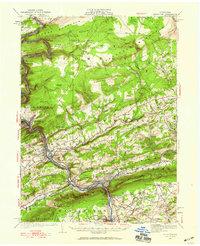
1922 Lehighton
Carbon County, PA
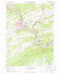
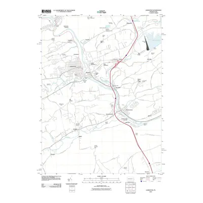
1960 Lehighton
Carbon County, PA
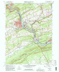
1992 Lehighton
Carbon County, PA
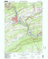
1997 Lehighton
Carbon County, PA
1999 Lehighton
Carbon County, PA
2010 Lehighton
Carbon County, PA
2013 Lehighton
Carbon County, PA
2016 Lehighton
Carbon County, PA
2019 Lehighton
Carbon County, PA
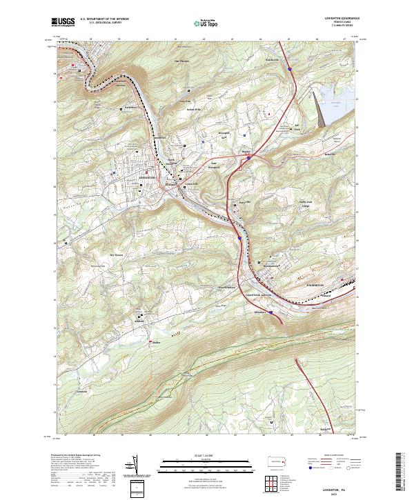
2023 Lehighton
Carbon County, PA