
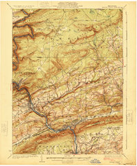
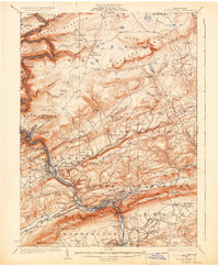
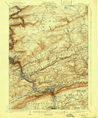
1924 Map of Mauch Chunk
USGS Topo · Published 1924About this map
The Lehigh River carves a dramatic path through the mountains of Carbon County, anchoring an industrial corridor where the Lehigh Valley Railroad and Central Railroad of New Jersey compete for space on narrow riverbanks. At the heart of the region, Mauch Chunk and East Mauch Chunk sit tucked beneath the shadows of Mt. Pisgah and Bear Mountain. The landscape reveals a dense network of early 20th-century coal and rail infrastructure, from the Rockport Tunnel in the north to the busy yards at Packerton and the industrial activity in Palmerton.
Find a feature on this map
122 named features on this map. Tap any name to fly to it.
Don’t see what you’re looking for? This feature index may not catch every label — zoom into the map to look around manually.
Map Details
Editions of this 1924 Mauch Chunk Map
4 editions found
Other maps of this area

1889 · Hazleton
USGS Topo · 1:62,500

1891 · Wilkesbarre
USGS Topo · 1:62,500

1891 · Hazleton
USGS Topo · 1:62,500

1893 · Hazleton
USGS Topo · 1:62,500

1894 · Allentown
USGS Topo · 1:62,500

1894 · Wilkesbarre
USGS Topo · 1:62,500

1902 · Slatington
USGS Topo · 1:62,500

1909 · Hamburg
USGS Topo · 1:62,500

1911 · Hamburg
USGS Topo · 1:62,500

1914 · Wind Gap
USGS Topo · 1:62,500