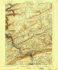
1924 Map of Mauch Chunk
USGS Topo · Published 1941About this map
The Lehigh River carves a deep path through Carbon County, Pennsylvania, anchoring a corridor of industrial and transit infrastructure. Parallel lines of the Lehigh Valley Railroad and the Central Railroad of New Jersey snake along the riverbanks, serving the concentrated populations in Mauch Chunk, Lehighton, and the zinc-industrial hub of Palmerton. This 1920s landscape is defined by its sharp verticality, where prominent ridges like Bear Mtn and Summer Mountain flank the narrow river valley. Away from the industrial centers, the map reveals a high density of rural institutions, such as the Larrytown Poor Farm and numerous family-named schoolhouses like Snyder School and Willis School. The southern edge of the survey highlights the dramatic Lehigh Gap, a critical geological and transport notch where the river breaks through the Blue Mountain ridge to enter the Lehigh Valley.
Find a feature on this map
137 named features on this map. Tap any name to fly to it.
Don’t see what you’re looking for? This feature index may not catch every label — zoom into the map to look around manually.
Map Details
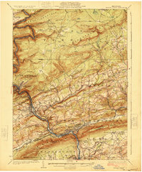
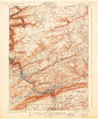
Editions of this 1924 Mauch Chunk Map
4 editions found

Other maps of this area

1889 · Hazleton
USGS Topo · 1:62,500

1891 · Wilkesbarre
USGS Topo · 1:62,500

1891 · Hazleton
USGS Topo · 1:62,500

1893 · Hazleton
USGS Topo · 1:62,500

1894 · Allentown
USGS Topo · 1:62,500

1894 · Wilkesbarre
USGS Topo · 1:62,500

1902 · Slatington
USGS Topo · 1:62,500

1909 · Hamburg
USGS Topo · 1:62,500

1911 · Hamburg
USGS Topo · 1:62,500

1914 · Wind Gap
USGS Topo · 1:62,500