
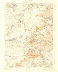
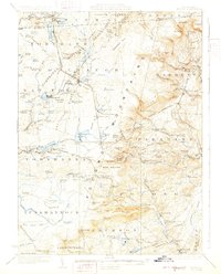
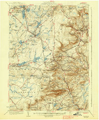
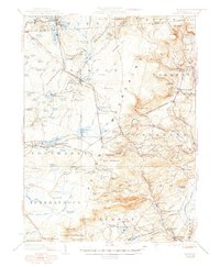
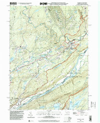
1923 Map of Pocono
USGS Topo · Published 1923About this map
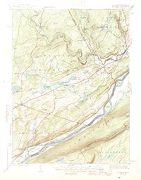
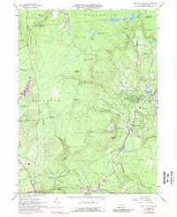
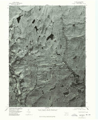
Mount Pocono and the surrounding resort highlands of Monroe County are shown here during a period of transition into a premier vacation destination. The landscape is defined by its hydrological network, from the wide waters of Lake Naomi and Pocono Lake to the intricate tributaries of Paradise Creek and Swiftwater Creek. The presence of the Delaware Lackawanna and Western RR facilitates access to the growing mountain communities of Cresco, Mountain Home, and Pocono Summit.
Find a feature on this map
142 named features on this map. Tap any name to fly to it.
Don’t see what you’re looking for? This feature index may not catch every label — zoom into the map to look around manually.
Map Details
Editions of this 1923 Pocono Map
5 editions found
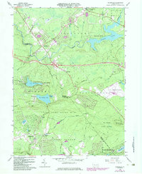
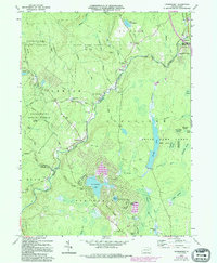
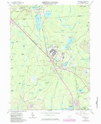
Historical Maps of Tobyhanna Through Time
41 maps found

1891 Wallpack
Monroe County, PA
1893 Wallpack
Monroe County, PA

1919 Pocono
Monroe County, PA

1921 Pocono
Monroe County, PA
1923 Pocono
Monroe County, PA

1924 Bushkill
Monroe County, PA
1943 Bushkill
Monroe County, PA

1943 Pocono
Monroe County, PA
1943 Skytop
Monroe County, PA
1944 Bushkill
Monroe County, PA
1947 Bushkill
Monroe County, PA

1947 Skytop
Monroe County, PA

1959 Pocono
Monroe County, PA
1965 Blakeslee
Monroe County, PA
1965 Thornhurst
Monroe County, PA
1965 Tobyhanna
Monroe County, PA
1966 Buck Hill Falls
Monroe County, PA
1976 Blakeslee
Monroe County, PA
1976 Broadheadsville
Monroe County, PA

1976 Buck Hill Falls
Monroe County, PA
1976 Bushkill
Monroe County, PA
1976 Skytop
Monroe County, PA
1976 Thornhurst
Monroe County, PA

1976 Tobyhanna
Monroe County, PA

1992 Blakeslee
Monroe County, PA
1993 Bushkill
Monroe County, PA

1994 Buck Hill Falls
Monroe County, PA

1994 Skytop
Monroe County, PA

1994 Tobyhanna
Monroe County, PA

1997 Buck Hill Falls
Monroe County, PA

1997 Skytop
Monroe County, PA

1997 Thornhurst
Monroe County, PA
1999 Blakeslee
Monroe County, PA
1999 Bushkill
Monroe County, PA
1999 Tobyhanna
Monroe County, PA
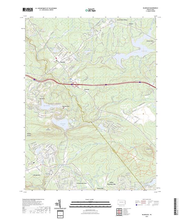
2023 Blakeslee
Monroe County, PA
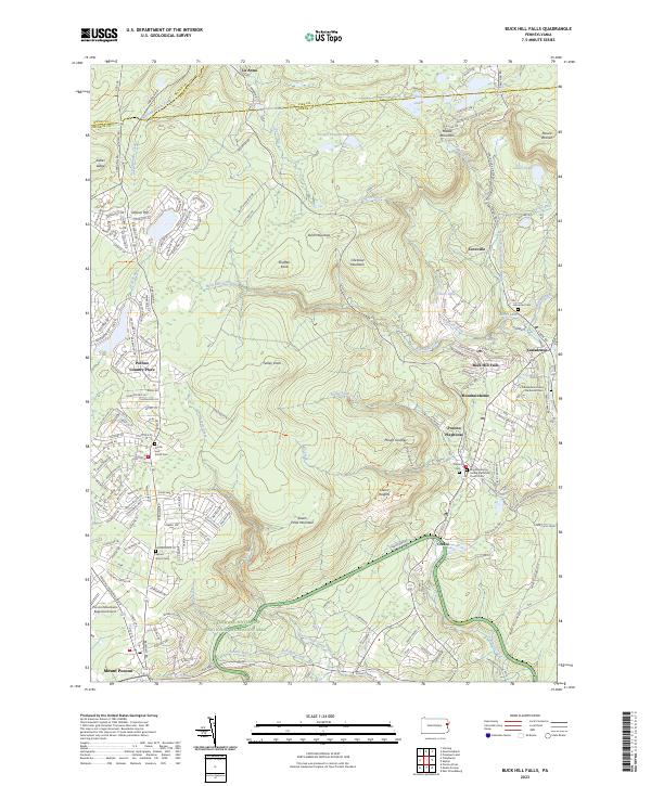
2023 Buck Hill Falls
Monroe County, PA
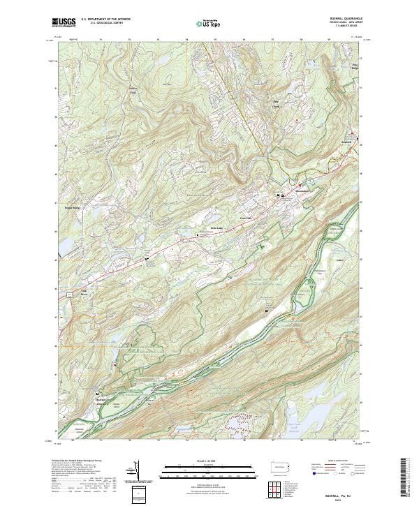
2023 Bushkill
Monroe County, PA
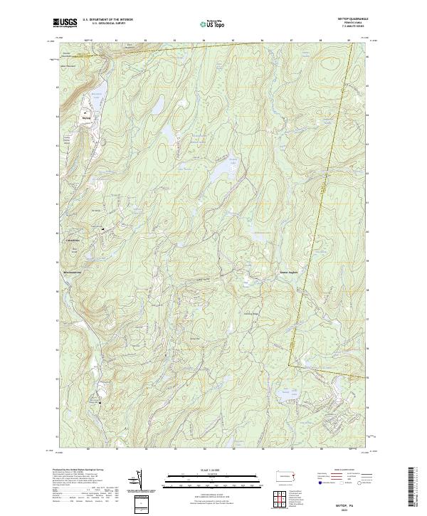
2023 Skytop
Monroe County, PA
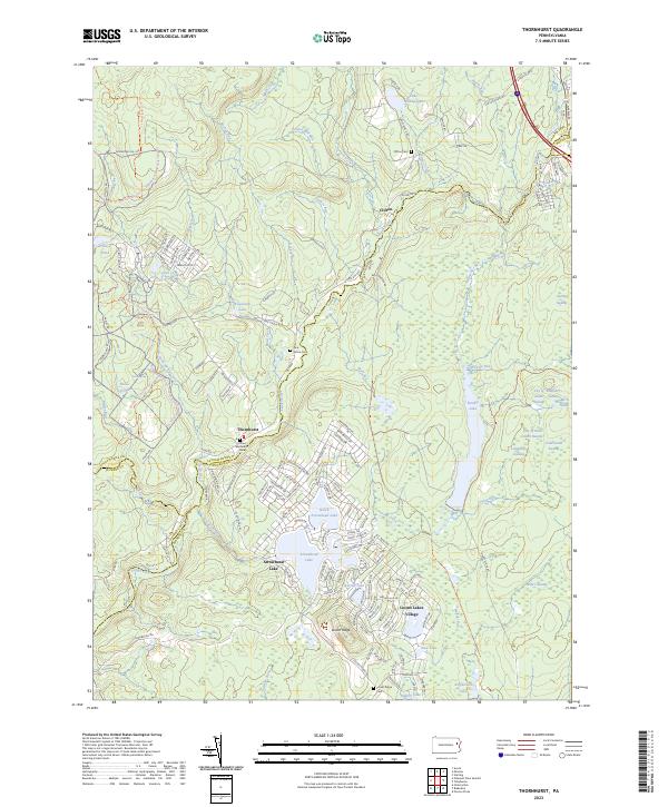
2023 Thornhurst
Monroe County, PA
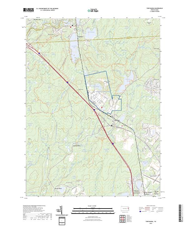
2023 Tobyhanna
Monroe County, PA
Featured Locations
- Mount Pocono, PA
- Clifton Township, PA
- Tobyhanna, Coolbaugh Township
- Pocono Pines, Tobyhanna Township
- Pocono Pines, Tobyhanna Township