Loading...
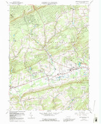
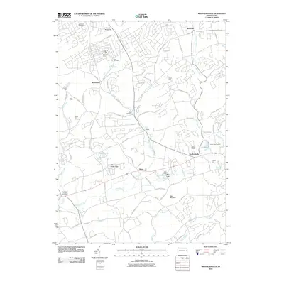
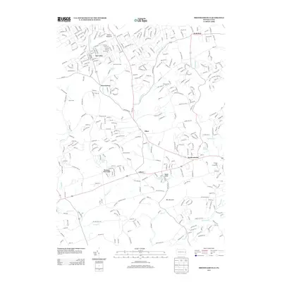
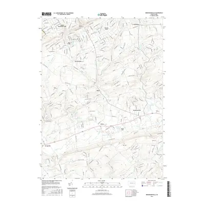
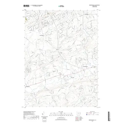
Loading map...1960 Map of Brodheadsville
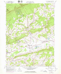
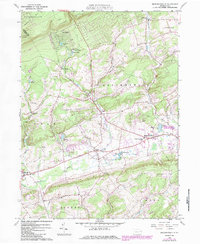
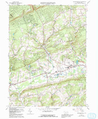
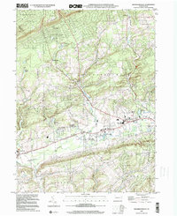
USGS Topo · Published 1992About this map
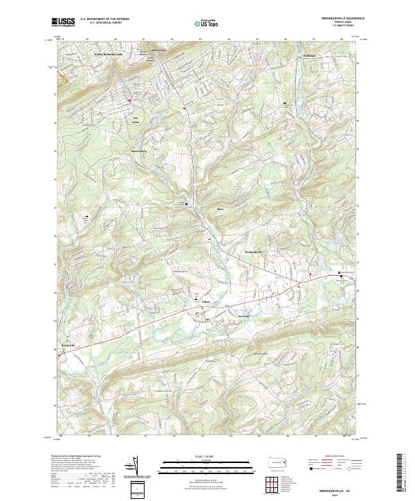
The Chestnut Hill and Pocono Mountains landscapes dominate this mid-century survey of the Monroe County countryside. Small valley settlements like Brodheadsville, Gilbert, and Effort are captured during a period of transition as local agriculture intersected with growing recreational and institutional footprints. The map documents several community hubs, including the Pleasant Valley Middle School and a Fairground near the banks of Weir Creek, highlighting the region's role as a gathering place for the surrounding rural townships.
Find a feature on this map
45 named features on this map. Tap any name to fly to it.
Don’t see what you’re looking for? This feature index may not catch every label — zoom into the map to look around manually.
Map Details
Date Portrayed1960
Date Published1992
PublisherU.S. Geological Survey
Map TypeTopographic
Scale1:24,000
Physical Dimensions22 x 27 inches
Editions of this 1960 Brodheadsville Map
7 editions found
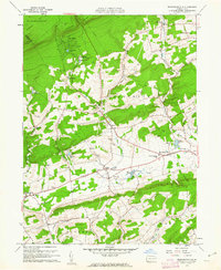
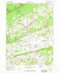
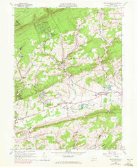
Historical Maps of Eldred Township Through Time
7 maps found
Featured Locations
- Penn Forest Township, PA
- Eldred Township, PA
- Tunkhannock Township, PA
- Chestnuthill Township, PA
- Brodheadsville, Chestnuthill Township
Source Details
SourceU.S. Geological Survey
CopyrightPublic Domain