
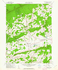
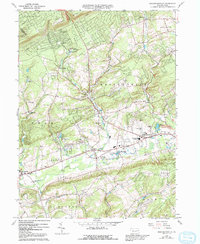
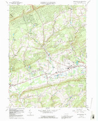
1960 Map of Broadheadsville
USGS Topo · Published 1972About this map
Pohopoco Creek flows through a landscape of emerging recreation and longstanding agricultural settlements in this Monroe County study. By the early 1960s, the terrain shows a distinct shift toward seasonal use, anchored by Camp Trexler, Seneca Hunt Camp, and several small lakes including Sun Valley Lake and Hemlock Lake. The human geography is defined by the crossroads of Brodheadsville and Gilbert, where a Fairground and local schools suggest a central hub for the surrounding townships.
Find a feature on this map
36 named features on this map. Tap any name to fly to it.
Don’t see what you’re looking for? This feature index may not catch every label — zoom into the map to look around manually.
Map Details
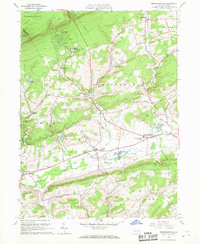
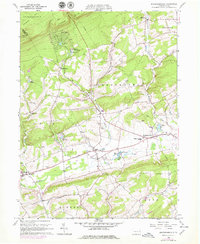
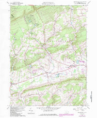
Editions of this 1960 Broadheadsville Map
7 editions found
Other maps of this area

1914 · Wind Gap
USGS Topo · 1:62,500

1916 · Wind Gap
USGS Topo · 1:62,500

1919 · Pocono
USGS Topo · 1:62,500

1921 · Pocono
USGS Topo · 1:62,500

1922 · Mauch Chunk
USGS Topo · 1:62,500

1922 · Stoddartsville
USGS Topo · 1:62,500

1923 · Pocono
USGS Topo · 1:62,500

1924 · Stoddartsville
USGS Topo · 1:62,500

1924 · Mauch Chunk
USGS Topo · 1:62,500

1943 · Scranton
USGS Topo · 1:125,000
Featured Places
- Eldred Township, PA
- Brodheadsville, Chestnuthill Township
- Penn Forest Township, PA
- Chestnuthill Township, PA
- Tunkhannock Township, PA