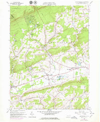
1960 Map of Broadheadsville
USGS Topo · Published 1979About this map
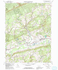
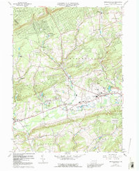
Pohopoco Creek and its many tributaries, including Middle Creek and Sugar Hollow Creek, define the landscape of this southern Pocono region. The map captures a moment of established rural community life centered around the villages of Brodheadsville, Effort, and Gilbert. These settlements are marked by traditional civic anchors such as St Johns Ch, Effort Cem, and the Pleasant Valley Sch, while the Fairground near Gilbert suggests a center for regional gathering. The northern terrain transitions into the Pocono Mtns, where recreational and residential development is visible around Sun Valley Lake and Seneca Lake. Notable landmarks like Camp Trexler and the industrial presence of scattered Gravel Pits reflect the mixed economy of the mid-20th century, balanced between seasonal tourism and local agriculture.
Find a feature on this map
43 named features on this map. Tap any name to fly to it.
Don’t see what you’re looking for? This feature index may not catch every label — zoom into the map to look around manually.
Map Details
Editions of this 1960 Broadheadsville Map
7 editions found

Other maps of this area

1914 · Wind Gap
USGS Topo · 1:62,500

1916 · Wind Gap
USGS Topo · 1:62,500

1919 · Pocono
USGS Topo · 1:62,500

1921 · Pocono
USGS Topo · 1:62,500

1922 · Mauch Chunk
USGS Topo · 1:62,500

1922 · Stoddartsville
USGS Topo · 1:62,500

1923 · Pocono
USGS Topo · 1:62,500

1924 · Stoddartsville
USGS Topo · 1:62,500

1924 · Mauch Chunk
USGS Topo · 1:62,500

1943 · Scranton
USGS Topo · 1:125,000
Featured Places
- Eldred Township, PA
- Brodheadsville, Chestnuthill Township
- Penn Forest Township, PA
- Chestnuthill Township, PA
- Tunkhannock Township, PA