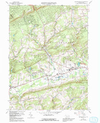
1960 Map of Brodheadsville
USGS Topo · Published 1992About this map
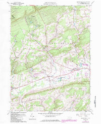
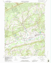
Pohopoco Creek and McMichael Creek flow through this section of the Pocono Mtns, illustrating the mid-century development of Monroe and Carbon counties. The settlement at Brodheadsville serves as a local hub, supported by the Pleasant Valley Middle School and the Pleasant Valley Airport. Smaller hamlets like Effort, Gilbert, and Kresgeville are connected by valley roads, while the northern highlands show recreational growth at Sun Valley and Camp Trexler. Genealogy researchers will find several localized landmarks, including St Johns Ch, Zion Ch, and the Middle Creek Cem. The landscape is a mix of agricultural valleys and wooded ridges such as Chestnut Hill, with numerous gravel pits and a prominent pipeline indicating the industrial utility of the terrain during this era of Pennsylvania's history.
Find a feature on this map
41 named features on this map. Tap any name to fly to it.
Don’t see what you’re looking for? This feature index may not catch every label — zoom into the map to look around manually.
Map Details
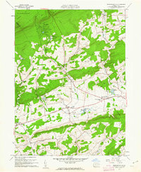
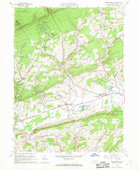
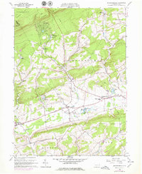
Editions of this 1960 Brodheadsville Map
7 editions found

Other maps of this area

1914 · Wind Gap
USGS Topo · 1:62,500

1916 · Wind Gap
USGS Topo · 1:62,500

1919 · Pocono
USGS Topo · 1:62,500

1921 · Pocono
USGS Topo · 1:62,500

1922 · Mauch Chunk
USGS Topo · 1:62,500

1922 · Stoddartsville
USGS Topo · 1:62,500

1923 · Pocono
USGS Topo · 1:62,500

1924 · Stoddartsville
USGS Topo · 1:62,500

1924 · Mauch Chunk
USGS Topo · 1:62,500

1943 · Scranton
USGS Topo · 1:125,000
Featured Places
- Eldred Township, PA
- Brodheadsville, Chestnuthill Township
- Penn Forest Township, PA
- Chestnuthill Township, PA
- Tunkhannock Township, PA