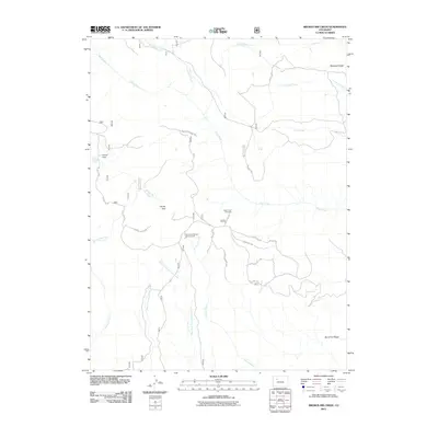
2011 Map of Broken Rib Creek
USGS Topo · Published 2011About this map
Deep Creek and its many tributaries carve through the Garfield County high country in this 2011 survey, showing a landscape defined by dramatic rims and ridges. From the West Deep Creek Rim to the high vantage of the Deep Creek Overlook, the topography reveals a network of drainage systems including East Fork Dead Horse Creek and the unusual naming of Irrawaddy Creek.
Find a feature on this map
22 named features on this map. Tap any name to fly to it.
Don’t see what you’re looking for? This feature index may not catch every label — zoom into the map to look around manually.
Map Details
Editions of this 2011 Broken Rib Creek Map
This is the sole edition of this map. No revisions or reprints were ever made.
Other maps of this area

1927 · Glenwood Springs
USGS Topo · 1:125,000

1930 · Glenwood Springs
USGS Topo · 1:125,000

1957 · Leadville
USGS Topo · 1:250,000

1959 · Leadville
USGS Topo · 1:250,000

1960 · Leadville
USGS Topo · 1:250,000

1961 · Cottonwood Pass
USGS Topo · 1:24,000

1961 · Shoshone
USGS Topo · 1:24,000

1961 · Glenwood Springs
USGS Topo · 1:24,000

1962 · Leadville
USGS Topo · 1:250,000

1964 · Leadville
USGS Topo · 1:250,000