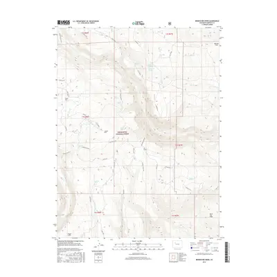
2016 Map of Broken Rib Creek
USGS Topo · Published 2016About this map
White River National Forest defines this high-elevation landscape in Garfield County, where a dense network of springs and seasonal creeks feeds the drainage basins of the Colorado River watershed. The area is characterized by significant topographic features such as Monegar Ridge and Windy Point, which overlook a series of namesake watercourses including Broken Rib Creek and Irrawaddy Cr. This 2016 survey illustrates the modern management of public lands, showing how historic resource names like Deadhorse Spring and Balisburg Spring persist alongside contemporary forest access routes. The naming of high meadows like Coyote Park and Crane Park reflects a landscape traditionally utilized for seasonal grazing and wildlife habitat, while landmarks such as Burnt Tree Ridge and Tie Gulch provide specific orientation points within the expansive national forest boundary.
Find a feature on this map
50 named features on this map. Tap any name to fly to it.
Don’t see what you’re looking for? This feature index may not catch every label — zoom into the map to look around manually.
Map Details
Editions of this 2016 Broken Rib Creek Map
This is the sole edition of this map. No revisions or reprints were ever made.
Other maps of this area

1927 · Glenwood Springs
USGS Topo · 1:125,000

1930 · Glenwood Springs
USGS Topo · 1:125,000

1957 · Leadville
USGS Topo · 1:250,000

1959 · Leadville
USGS Topo · 1:250,000

1960 · Leadville
USGS Topo · 1:250,000

1961 · Cottonwood Pass
USGS Topo · 1:24,000

1961 · Shoshone
USGS Topo · 1:24,000

1961 · Glenwood Springs
USGS Topo · 1:24,000

1962 · Leadville
USGS Topo · 1:250,000

1964 · Leadville
USGS Topo · 1:250,000