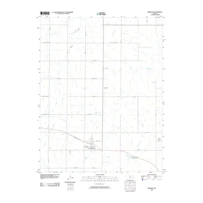
2009 Map of Bronson
USGS Topo · Published 2009About this map
Bronson serves as the primary hub of this agricultural landscape in Bourbon County, organized around a grid of residential streets such as Pine St, Spruce St, and Linn St. The town's layout and the surrounding rural section lines reveal a classic Midwestern development pattern, where the local economy is tied to the drainage basins of the South Fork Little Osage River and Spring Valley. Water management is evident south of the town center at the Bronson Water Storage Dam along Tennyson Creek. For family historians, the presence of Ensminger Cemetery to the north and Pleasant Ridge Cemetery to the east provides critical points of interest for tracing lineage in this part of Kansas. The terrain is further defined by various seasonal and permanent waterways, including Limestone Creek and Ross Branch, which snake through the section-line road network.
Find a feature on this map
38 named features on this map. Tap any name to fly to it.
Don’t see what you’re looking for? This feature index may not catch every label — zoom into the map to look around manually.
Map Details
Editions of this 2009 Bronson Map
This is the sole edition of this map. No revisions or reprints were ever made.
Other maps of this area

1884 · Fort Scott
USGS Topo · 1:125,000

1885 · Garnett
USGS Topo · 1:125,000

1886 · Iola
USGS Topo · 1:125,000

1886 · Fort Scott
USGS Topo · 1:125,000

1887 · Mound City
USGS Topo · 1:125,000

1893 · Fort Scott
USGS Topo · 1:125,000

1893 · Iola
USGS Topo · 1:125,000

1893 · Mound City
USGS Topo · 1:125,000

1894 · Garnett
USGS Topo · 1:125,000

1904 · Iola
USGS Topo · 1:125,000