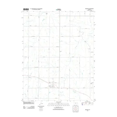
2012 Map of Bronson
USGS Topo · Published 2012About this map
Bronson serves as the primary hub of this eastern Kansas landscape, situated near the headwaters of several key drainage systems. The town's grid is centered around the Post Office, with local streets such as Spruce St and Linn St leading toward the Bronson Cemetery on the northwestern edge. This area marks a significant hydrological divide, where the S Fork Little Osage River flows north past Spring Valley and Dawson Lake, while the Marmaton River and Schubert Creek drain the southern reaches of the quadrangle. Rural life is organized by a strictly rectilinear road network named for various states, including Texas Rd and Nebraska Rd. Genealogists will find several burial grounds scattered throughout the township, such as Gillham Cemetery and Pleasant Ridge Cemetery, which highlight the legacy of the early settlement clusters and family farmsteads that established this agricultural region.
Find a feature on this map
41 named features on this map. Tap any name to fly to it.
Don’t see what you’re looking for? This feature index may not catch every label — zoom into the map to look around manually.
Map Details
Editions of this 2012 Bronson Map
This is the sole edition of this map. No revisions or reprints were ever made.
Other maps of this area

1884 · Fort Scott
USGS Topo · 1:125,000

1885 · Garnett
USGS Topo · 1:125,000

1886 · Iola
USGS Topo · 1:125,000

1886 · Fort Scott
USGS Topo · 1:125,000

1887 · Mound City
USGS Topo · 1:125,000

1893 · Fort Scott
USGS Topo · 1:125,000

1893 · Iola
USGS Topo · 1:125,000

1893 · Mound City
USGS Topo · 1:125,000

1894 · Garnett
USGS Topo · 1:125,000

1904 · Iola
USGS Topo · 1:125,000