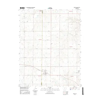
2016 Map of Bronson
USGS Topo · Published 2016About this map
The town of Bronson anchors this southeastern Kansas landscape, where the local economy and social life are reflected in a grid of established streets such as Wright St, Linn St, and Cedar St. Situated along the border of Allen and Bourbon counties, the area is defined by its water resources and small-town infrastructure. To the south, Bronson Reservoir and Schubert Cr indicate the importance of local water management, while the northern terrain is carved by the S Fork Little Osage River and Dawson Lake.
Find a feature on this map
51 named features on this map. Tap any name to fly to it.
Don’t see what you’re looking for? This feature index may not catch every label — zoom into the map to look around manually.
Map Details
Editions of this 2016 Bronson Map
This is the sole edition of this map. No revisions or reprints were ever made.
Other maps of this area

1884 · Fort Scott
USGS Topo · 1:125,000

1885 · Garnett
USGS Topo · 1:125,000

1886 · Iola
USGS Topo · 1:125,000

1886 · Fort Scott
USGS Topo · 1:125,000

1887 · Mound City
USGS Topo · 1:125,000

1893 · Fort Scott
USGS Topo · 1:125,000

1893 · Iola
USGS Topo · 1:125,000

1893 · Mound City
USGS Topo · 1:125,000

1894 · Garnett
USGS Topo · 1:125,000

1904 · Iola
USGS Topo · 1:125,000