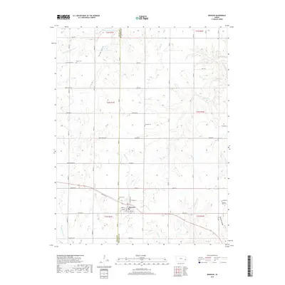
2018 Map of Bronson
USGS Topo · Published 2018About this map
Bronson serves as the central hub of this eastern Kansas landscape, situated near the boundary where Allen and Bourbon counties meet. The town's grid is clearly defined by streets such as Wright St, Pine St, and Bay St, reflecting a well-established rural community layout. The surrounding terrain is characterized by a network of watercourses, including the S Fork Little Osage River in the north and the Marmaton River at the southwestern corner, which dictate the roll of the land through areas like Spring Valley and Opossum Hollow.
Find a feature on this map
50 named features on this map. Tap any name to fly to it.
Don’t see what you’re looking for? This feature index may not catch every label — zoom into the map to look around manually.
Map Details
Editions of this 2018 Bronson Map
This is the sole edition of this map. No revisions or reprints were ever made.
Other maps of this area

1884 · Fort Scott
USGS Topo · 1:125,000

1885 · Garnett
USGS Topo · 1:125,000

1886 · Iola
USGS Topo · 1:125,000

1886 · Fort Scott
USGS Topo · 1:125,000

1887 · Mound City
USGS Topo · 1:125,000

1893 · Fort Scott
USGS Topo · 1:125,000

1893 · Iola
USGS Topo · 1:125,000

1893 · Mound City
USGS Topo · 1:125,000

1894 · Garnett
USGS Topo · 1:125,000

1904 · Iola
USGS Topo · 1:125,000