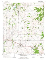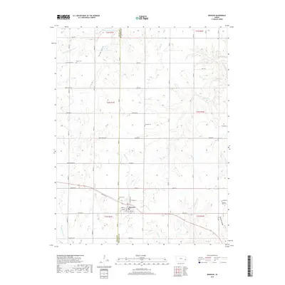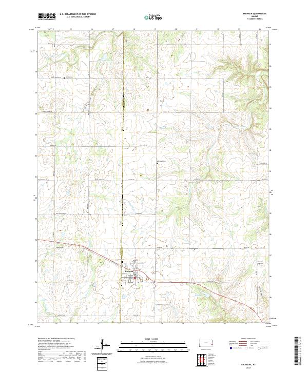
2022 Map of Bronson
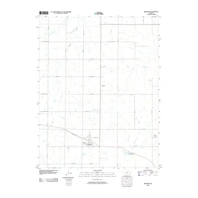
USGS Topo · Published 2022About this map
Bronson stands at the heart of this landscape along the border of Allen and Bourbon counties, where the high plains of eastern Kansas are dissected by a network of creeks and small rivers. This area is defined by the transition between the S Fork Little Osage River in the north and the Marmaton River to the southwest, creating a terrain of subtle valleys like Spring Valley and localized drainage basins. The town grid itself is well-developed, featuring a cluster of residential streets including Linn St and Spruce St centered near the local Bronson Reservoir.
Find a feature on this map
51 named features on this map. Tap any name to fly to it.
Don’t see what you’re looking for? This feature index may not catch every label — zoom into the map to look around manually.
Map Details
Editions of this 2022 Bronson Map
This is the sole edition of this map. No revisions or reprints were ever made.
Historical Maps of Bronson Through Time
6 maps found