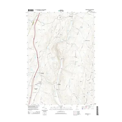
2015 Map of Brookfield
USGS Topo · Published 2015About this map
The Brookfield Floating Bridge spans the waters of Sunset Lake, anchoring a landscape where the Second Br White River carves through the distinct valley of Williamstown Gulf. This modern survey reveals a region defined by high ridges and family-named summits such as Lighthouse Hill and Annis Hill. Settlement patterns are concentrated around several distinct villages, including Brookfield, East Brookfield, and Williamstown, each connected by a network of rural roads like Chelsea Rd and Williamstown Rd.
Find a feature on this map
105 named features on this map. Tap any name to fly to it.
Don’t see what you’re looking for? This feature index may not catch every label — zoom into the map to look around manually.
Map Details
Editions of this 2015 Brookfield Map
This is the sole edition of this map. No revisions or reprints were ever made.
Other maps of this area

1896 · Strafford
USGS Topo · 1:62,500

1919 · Royalton
USGS Topo · 1:62,500

1922 · Barre
USGS Topo · 1:48,000

1924 · Barre
USGS Topo · 1:62,500

1924 · Randolph
USGS Topo · 1:48,000

1926 · Randolph
USGS Topo · 1:62,500

1944 · Strafford
USGS Topo · 1:62,500

1947 · Corinth
USGS Topo · 1:62,500

1948 · East Barre
USGS Topo · 1:62,500

1950 · Glens Falls
USGS Topo · 1:250,000