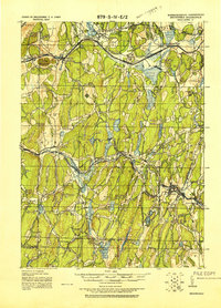
1921 Map of Brookfield
USGS Topo · Published 1921About this map
The Boston and Albany Railroad corridor defines the northern industrial landscape of this region, connecting the busy settlements of Warren, West Brookfield, and Brookfield. This 1921 tactical map, updated with field work by Troop E of the U.S. Cavalry, reveals a landscape of transition between the river-powered manufacturing centers and the high ridges of the Central Massachusetts uplands. To the south, the Massachusetts Connecticut Boundary Line cuts through water-rich terrain near Mashapaug and the Hamilton Reservoir.
Find a feature on this map
80 named features on this map. Tap any name to fly to it.
Don’t see what you’re looking for? This feature index may not catch every label — zoom into the map to look around manually.
Map Details
Editions of this 1921 Brookfield Map
This is the sole edition of this map. No revisions or reprints were ever made.
Other maps of this area

1885 · Worcester
USGS Topo · 1:62,500

1886 · Worcester
USGS Topo · 1:62,500

1887 · Brookfield
USGS Topo · 1:62,500

1887 · Palmer
USGS Topo · 1:62,500

1887 · Belchertown
USGS Topo · 1:62,500

1887 · Barre
USGS Topo · 1:62,500
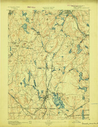
1889 · Webster
USGS Topo · 1:62,500
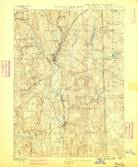
1889 · Putnam
USGS Topo · 1:62,500

1889 · Palmer
USGS Topo · 1:62,500

1889 · Barre
USGS Topo · 1:62,500