
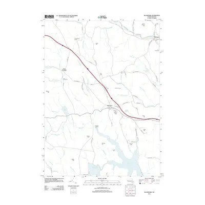
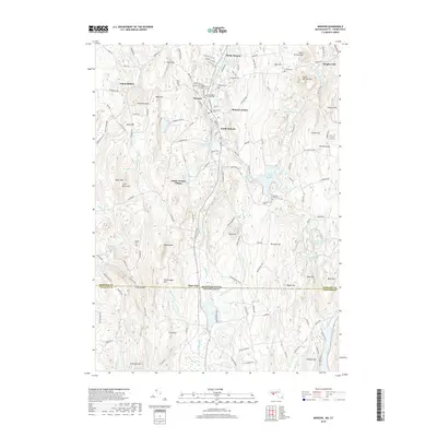
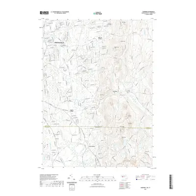
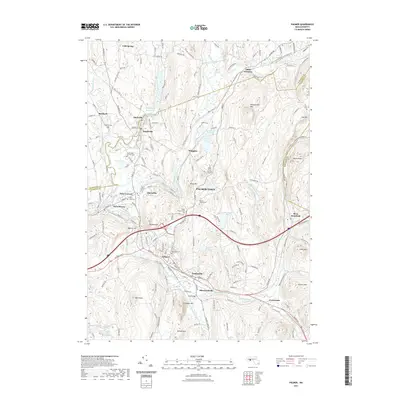
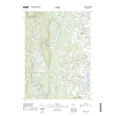
1889 Map of Palmer
USGS Topo · Published 1889About this map
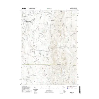
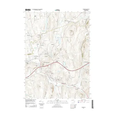
The Chicopee River and its various branches create a bustling industrial corridor through Hampden County in the late 19th century, where water power and rail infrastructure intersect. Extensive rail networks including the New London Northern Railroad and the Boston and Albany Railroad converge at key transit points like Barretts Junction and Palmer. These transportation hubs supported a landscape of manufacturing and institutional development, evidenced by Ellis Mills and the State Alms House near Monson.
Find a feature on this map
118 named features on this map. Tap any name to fly to it.
Don’t see what you’re looking for? This feature index may not catch every label — zoom into the map to look around manually.
Map Details
Editions of this 1889 Palmer Map
This is the sole edition of this map. No revisions or reprints were ever made.
Historical Maps of Springfield Through Time
157 maps found

1887 Granville
Hampden County, MA

1887 Palmer
Hampden County, MA

1889 Granville
Hampden County, MA
1889 Palmer
Hampden County, MA

1893 Granville
Hampden County, MA

1893 Palmer
Hampden County, MA

1895 Granville
Hampden County, MA

1919 Palmer
Hampden County, MA

1933 Feeding Hills
Hampden County, MA

1933 Longmeadow
Hampden County, MA

1937 Southwick
Hampden County, MA

1937 Woronoco
Hampden County, MA

1938 Mt Tom
Hampden County, MA

1938 Springfield North
Hampden County, MA

1938 Springfield South
Hampden County, MA

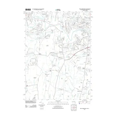
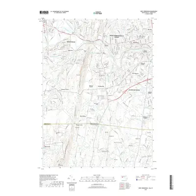
1938 West Springfield
Hampden County, MA

1939 Hampden
Hampden County, MA

1939 Ludlow
Hampden County, MA

1939 Springfield South
Hampden County, MA

1940 Hampden
Hampden County, MA

1942 Hampden
Hampden County, MA

1942 Ludlow
Hampden County, MA

1942 Southwick
Hampden County, MA

1942 Woronoco
Hampden County, MA

1944 Hampden
Hampden County, MA

1944 Ludlow
Hampden County, MA

1944 Springfield South
Hampden County, MA

1944 West Springfield
Hampden County, MA

1945 West Springfield
Hampden County, MA

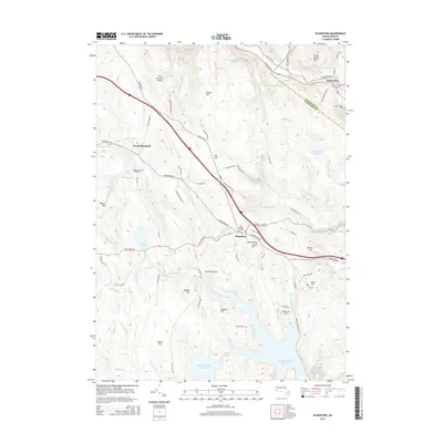
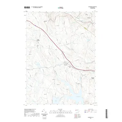
1946 Blandford
Hampden County, MA

1946 Hampden
Hampden County, MA

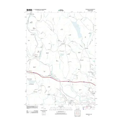
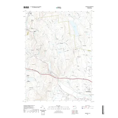
1946 Monson
Hampden County, MA

1946 Palmer
Hampden County, MA

1946 Springfield North
Hampden County, MA

1946 Springfield South
Hampden County, MA

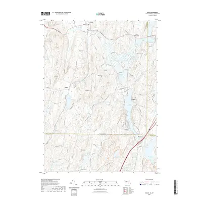
1946 Wales
Hampden County, MA

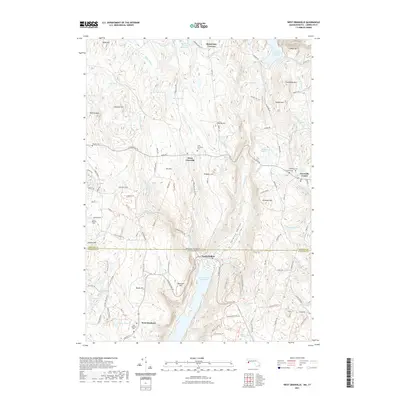
1946 West Granville
Hampden County, MA

1947 Ludlow
Hampden County, MA

1947 Palmer
Hampden County, MA

1947 Southwick
Hampden County, MA

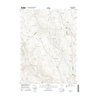
1948 Chester
Hampden County, MA

1948 Southwick
Hampden County, MA

1951 Woronoco
Hampden County, MA

1952 Wales
Hampden County, MA

1953 Monson
Hampden County, MA

1954 Ludlow
Hampden County, MA

1954 Palmer
Hampden County, MA

1955 Blandford
Hampden County, MA

1955 West Granville
Hampden County, MA

1956 Chester
Hampden County, MA

1958 Hampden
Hampden County, MA

1958 Mount Tom
Hampden County, MA

1958 Southwick
Hampden County, MA

1958 Springfield North
Hampden County, MA

1958 Springfield South
Hampden County, MA

1958 West Springfield
Hampden County, MA

1967 Monson
Hampden County, MA

1967 Wales
Hampden County, MA

1967 Woronoco
Hampden County, MA

1969 Ludlow
Hampden County, MA

1969 Palmer
Hampden County, MA

1971 West Granville
Hampden County, MA

1972 Blandford
Hampden County, MA

1972 Chester
Hampden County, MA

1972 Mount Tom
Hampden County, MA

1972 Southwick
Hampden County, MA

1972 Springfield North
Hampden County, MA

1975 Blandford
Hampden County, MA

1975 Chester
Hampden County, MA

1975 Hampden
Hampden County, MA

1975 Ludlow
Hampden County, MA

1975 Monson
Hampden County, MA

1975 Mount Tom
Hampden County, MA

1975 Palmer
Hampden County, MA

1975 Springfield North
Hampden County, MA

1975 Springfield South
Hampden County, MA

1975 Wales
Hampden County, MA

1975 West Granville
Hampden County, MA

1975 West Springfield
Hampden County, MA

1975 Woronoco
Hampden County, MA

1976 Southwick
Hampden County, MA

1987 Blandford
Hampden County, MA

1987 Southwick
Hampden County, MA

1997 Southwick
Hampden County, MA

1998 Blandford
Hampden County, MA

1998 Mount Tom
Hampden County, MA
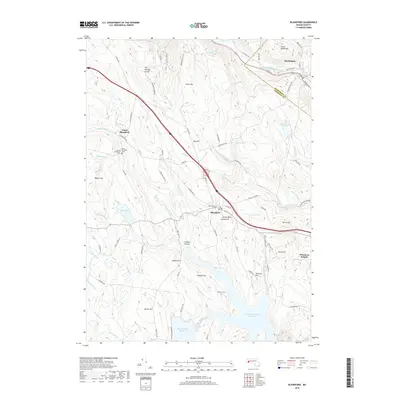
2012 Blandford
Hampden County, MA
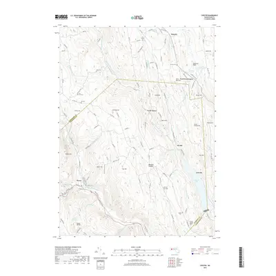
2012 Chester
Hampden County, MA
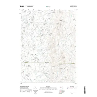
2012 Hampden
Hampden County, MA
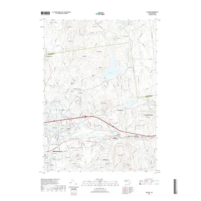
2012 Ludlow
Hampden County, MA
2012 Monson
Hampden County, MA
2012 Mount Tom
Hampden County, MA
2012 Palmer
Hampden County, MA
2012 Southwick
Hampden County, MA
2012 Springfield North
Hampden County, MA
2012 Springfield South
Hampden County, MA
2012 Wales
Hampden County, MA
2012 West Granville
Hampden County, MA
2012 West Springfield
Hampden County, MA
2012 Woronoco
Hampden County, MA
2015 Blandford
Hampden County, MA
2015 Chester
Hampden County, MA
2015 Hampden
Hampden County, MA
2015 Ludlow
Hampden County, MA
2015 Monson
Hampden County, MA
2015 Mount Tom
Hampden County, MA
2015 Palmer
Hampden County, MA
2015 Southwick
Hampden County, MA
2015 Springfield North
Hampden County, MA
2015 Springfield South
Hampden County, MA
2015 Wales
Hampden County, MA
2015 West Granville
Hampden County, MA
2015 West Springfield
Hampden County, MA
2015 Woronoco
Hampden County, MA
2018 Blandford
Hampden County, MA
2018 Chester
Hampden County, MA
2018 Hampden
Hampden County, MA
2018 Ludlow
Hampden County, MA
2018 Monson
Hampden County, MA
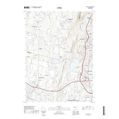
2018 Mount Tom
Hampden County, MA
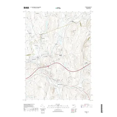
2018 Palmer
Hampden County, MA
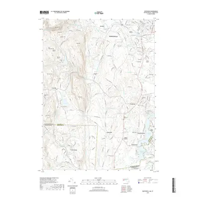
2018 Southwick
Hampden County, MA
2018 Springfield North
Hampden County, MA
2018 Springfield South
Hampden County, MA
2018 Wales
Hampden County, MA
2018 West Granville
Hampden County, MA
2018 West Springfield
Hampden County, MA
2018 Woronoco
Hampden County, MA
2021 Blandford
Hampden County, MA
2021 Chester
Hampden County, MA
2021 Hampden
Hampden County, MA
2021 Ludlow
Hampden County, MA
2021 Monson
Hampden County, MA
2021 Mount Tom
Hampden County, MA
2021 Palmer
Hampden County, MA
2021 Southwick
Hampden County, MA
2021 Springfield North
Hampden County, MA
2021 Springfield South
Hampden County, MA
2021 Wales
Hampden County, MA
2021 West Granville
Hampden County, MA
2021 West Springfield
Hampden County, MA
2021 Woronoco
Hampden County, MA
2023 Southwick
Hampden County, MA

2024 Blandford
Hampden County, MA

2024 Chester
Hampden County, MA

2024 Hampden
Hampden County, MA

2024 Ludlow
Hampden County, MA

2024 Monson
Hampden County, MA

2024 Mount Tom
Hampden County, MA

2024 Palmer
Hampden County, MA

2024 Southwick
Hampden County, MA

2024 Springfield North
Hampden County, MA

2024 Springfield South
Hampden County, MA

2024 Wales
Hampden County, MA

2024 West Granville
Hampden County, MA

2024 West Springfield
Hampden County, MA

2024 Woronoco
Hampden County, MA