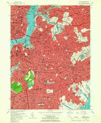
1956 Map of Brooklyn
USGS Topo · Published 1966About this map
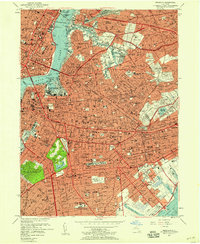
Manhattan and the expansive boroughs of Kings County and Queens converge in this detailed mid-century survey, capturing the dense urban fabric during a period of massive infrastructure growth. The industrial waterfront is dominated by the Brooklyn Navy Yard and the U.S. Naval Reservation, while the interior reveals the vast green spaces of Greenwood Cemetery and Prospect Park. The map documents a complex landscape of neighborhoods from Williamsburg to Flatbush, connected by the emerging Brooklyn-Queens Expressway and the extensive tracks of the Long Island RR.
Find a feature on this map
130 named features on this map. Tap any name to fly to it.
Don’t see what you’re looking for? This feature index may not catch every label — zoom into the map to look around manually.
Map Details
Editions of this 1956 Brooklyn Map
2 editions found
Other maps of this area

1888 · Paterson
USGS Topo · 1:62,500

1889 · Brooklyn
USGS Topo · 1:62,500

1891 · Brooklyn
USGS Topo · 1:62,500

1891 · Harlem
USGS Topo · 1:62,500

1892 · Paterson
USGS Topo · 1:62,500

1897 · Harlem
USGS Topo · 1:62,500

1897 · Brooklyn
USGS Topo · 1:62,500

1898 · Harlem
USGS Topo · 1:62,500

1898 · Staten Island
USGS Topo · 1:62,500

1898 · Brooklyn
USGS Topo · 1:62,500