Loading...
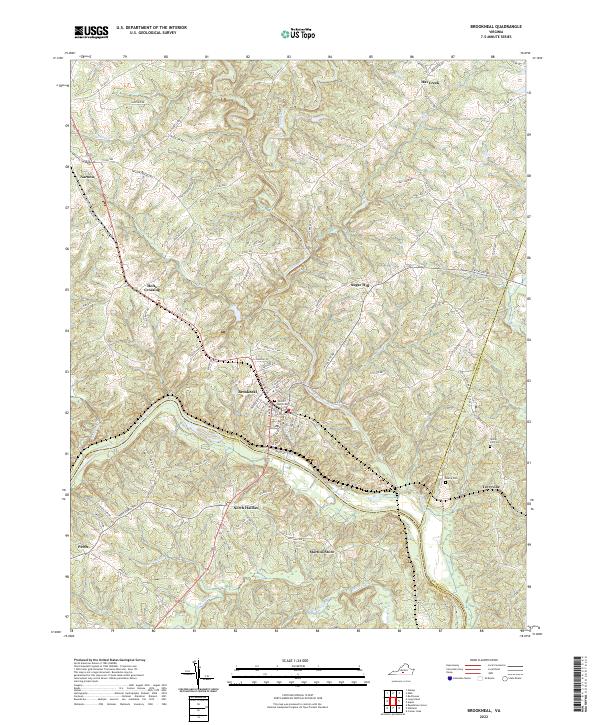
Loading map...2022 Map of Brookneal
USGS Topo · Published 2022About this map
Brookneal sits at a critical geographic junction where the Roanoke River serves as the boundary between Campbell, Halifax, and Charlotte Counties. This riverfront landscape is defined by the winding paths of the Falling River and Little Falling River, which converge just north of the main settlement. The terrain is a network of ridges and creek valleys, supporting small communities and family-named localities such as Martins Store and Holts Crossing.
Find a feature on this map
100 named features on this map. Tap any name to fly to it.
Don’t see what you’re looking for? This feature index may not catch every label — zoom into the map to look around manually.
Map Details
Date Portrayed2022
Date Published2022
PublisherU.S. Geological Survey
Map TypeTopographic
Scale1:24000
Physical Dimensions24 x 29 inches
Editions of this 2022 Brookneal Map
This is the sole edition of this map. No revisions or reprints were ever made.
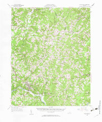
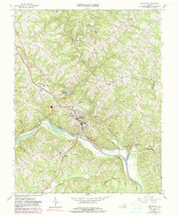
Historical Maps of Perth Through Time
3 maps found
Featured Locations
Source Details
SourceU.S. Geological Survey
CopyrightPublic Domain