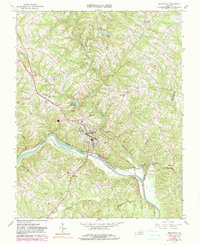
1966 Map of Brookneal
USGS Topo · Published 1990About this map
The Roanoke River serves as the focal point for this mid-1960s landscape where Campbell, Halifax, and Charlotte counties meet. At the center, the town of Brookneal serves as a regional hub for the Norfolk and Western railroad and local industry, featuring a Brookneal Sch, a Pumping Sta, and a Filtration Plant near the Brookneal Reservoir. A significant historical landmark is found to the southeast at Red Hill, the final residence and burial place of the American statesman.
Find a feature on this map
47 named features on this map. Tap any name to fly to it.
Don’t see what you’re looking for? This feature index may not catch every label — zoom into the map to look around manually.
Map Details
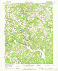
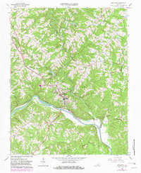
Editions of this 1966 Brookneal Map
3 editions found
Other maps of this area

1892 · Lynchburg
USGS Topo · 1:125,000

1892 · Appomattox
USGS Topo · 1:125,000

1947 · Roanoke
USGS Topo · 1:250,000

1953 · Greensboro
USGS Topo · 1:250,000

1954 · Greensboro
USGS Topo · 1:250,000

1954 · Halifax
USGS Topo · 1:62,500

1954 · Riceville
USGS Topo · 1:62,500

1956 · Brookneal
USGS Topo · 1:62,500

1956 · Gladys
USGS Topo · 1:62,500

1959 · Roanoke
USGS Topo · 1:250,000