Loading...
Loading map...2022 Map of Brooks
USGS Topo · Published 2022About this map
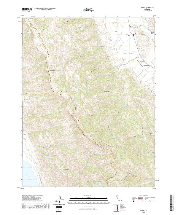
The Capay Valley defines the northeastern portion of this study, where the settlements of Brooks and Cadenasso sit along the winding course of Cache Creek. This area transitions from the agricultural valley floor into the steep ridges of the Blue Ridge and the Vaca Mountains. The landscape is deeply incised by complex drainage systems including Tully Canyon, Carey Canyon, and Fiske Canyon, which feed into the Lake Berryessa basin at the southwestern corner.
Find a feature on this map
70 named features on this map. Tap any name to fly to it.
Don’t see what you’re looking for? This feature index may not catch every label — zoom into the map to look around manually.
Map Details
Date Portrayed2022
Date Published2022
PublisherU.S. Geological Survey
Map TypeTopographic
Scale1:24000
Physical Dimensions24 x 29 inches
Editions of this 2022 Brooks Map
This is the sole edition of this map. No revisions or reprints were ever made.
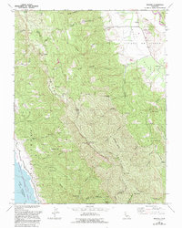
Historical Maps of Cadenasso Through Time
Featured Locations
Source Details
SourceU.S. Geological Survey
CopyrightPublic Domain