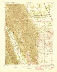
1959 Map of Brooks
USGS Topo · Published 1993About this map
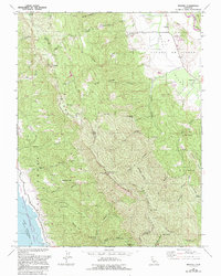
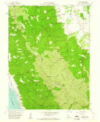
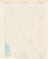
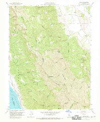
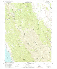
Blue Ridge and Rocky Ridge dominate this landscape along the boundary of Yolo and Napa Counties, where the terrain drops sharply toward the eastern shore of Lake Berryessa. The map captures a transition from the elevated peaks of Anderson Mtn and Berryessa Peak to the canyon-cut lowlands. In the northeast, the settlement of Brooks and the Rumsey Rancheria sit near the winding course of Cache Creek. This region, documented through aerial photography from 1957 and updated in the late 1980s, reveals a network of fire-access routes and a Toll Road threading through deep drainages like Brick Chimney Canyon and Fiske Canyon. The presence of numerous named water sources, such as Medical Spr and Sulphur Spr, points to the area's geological character and its history of mineral-rich springs.
Find a feature on this map
58 named features on this map. Tap any name to fly to it.
Don’t see what you’re looking for? This feature index may not catch every label — zoom into the map to look around manually.
Map Details
Editions of this 1959 Brooks Map
5 editions found
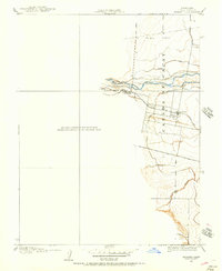
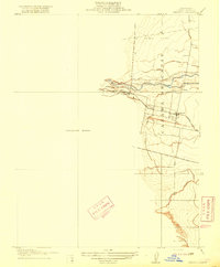
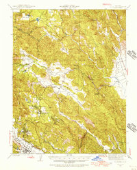
Other maps of this area
1905 · Esparto
USGS Topo · 1:24,000
1916 · Esparto
USGS Topo · 1:31,680

1924 · Capay
USGS Topo · 1:62,500
1942 · St. Helena
USGS Topo · 1:62,500

1943 · Morgan Valley
USGS Topo · 1:62,500

1943 · Capay
USGS Topo · 1:62,500

1944 · Morgan Valley
USGS Topo · 1:62,500

1945 · Capay
USGS Topo · 1:62,500
1945 · Rumsey
USGS Topo · 1:62,500
1945 · St. Helena
USGS Topo · 1:62,500