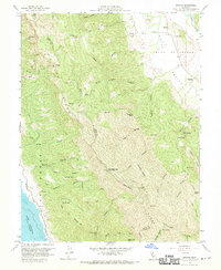
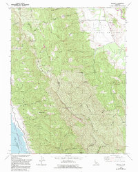
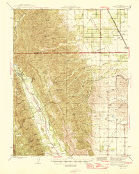
1959 Map of Brooks
USGS Topo · Published 1970About this map
Blue Ridge and Putas Ridge dominate the central topography of this survey, dividing the drainages of the Capay Valley from the rising waters of Lake Berryessa to the west. This period captures the landscape shortly after the completion of the Monticello Dam, showing the lake's spillway elevation and recreation areas at a time when the surrounding terrain remained largely defined by ranching and fire management. High points like Berryessa Peak Lookout Relay Sta and Anderson Mtn overlook a complex network of canyons, including Carey Canyon and Hog Canyon, which cut through the steep ridges. Traces of older transport and settlement are visible in the Toll Road and small outposts like Cadenasso and Brooks. Numerous springs, such as Medicel Spr and Sulphur Spr, indicate the important water sources for early landholders like those at Clark Ranch.
Find a feature on this map
74 named features on this map. Tap any name to fly to it.
Don’t see what you’re looking for? This feature index may not catch every label — zoom into the map to look around manually.
Map Details
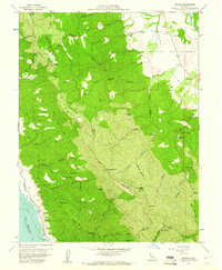
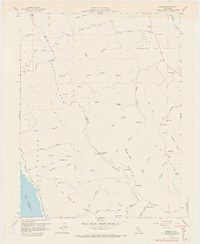
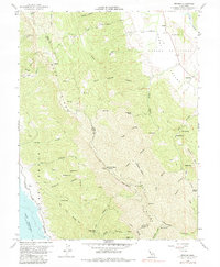
Editions of this 1959 Brooks Map
5 editions found
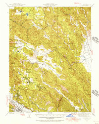
Other maps of this area
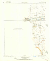
1905 · Esparto
USGS Topo · 1:24,000
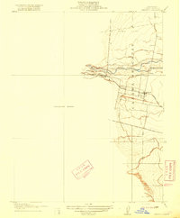
1916 · Esparto
USGS Topo · 1:31,680

1924 · Capay
USGS Topo · 1:62,500
1942 · St. Helena
USGS Topo · 1:62,500

1943 · Morgan Valley
USGS Topo · 1:62,500

1943 · Capay
USGS Topo · 1:62,500

1944 · Morgan Valley
USGS Topo · 1:62,500

1945 · Capay
USGS Topo · 1:62,500
1945 · Rumsey
USGS Topo · 1:62,500
1945 · St. Helena
USGS Topo · 1:62,500