
1916 Map of Esparto
USGS Topo · Published 1916About this map
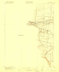
Agricultural development in the Cañada De Capay valley is the primary focus of this early 20th-century topographic record. The landscape reveals an extensive irrigation network supporting the region's farms, including the Adams Canal and Capay Canal, which draw from the waters of Cache Creek. Near the creek, a Brush Dam and a Gravel Pit indicate early industrial interventions in the local water and land resources.
Find a feature on this map
18 named features on this map. Tap any name to fly to it.
Don’t see what you’re looking for? This feature index may not catch every label — zoom into the map to look around manually.
Map Details
Editions of this 1916 Esparto Map
2 editions found
Other maps of this area

1905 · Esparto
USGS Topo · 1:24,000

1907 · Dunnigan
USGS Topo · 1:62,500

1907 · Woodland
USGS Topo · 1:62,500

1916 · Jacobs Corner
USGS Topo · 1:31,680

1916 · Zamora
USGS Topo · 1:31,680

1916 · Winters
USGS Topo · 1:31,680

1924 · Capay
USGS Topo · 1:62,500
1941 · Dunnigan
USGS Topo · 1:62,500
1941 · Woodland
USGS Topo · 1:62,500

1943 · Capay
USGS Topo · 1:62,500