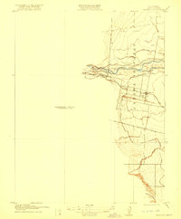
1916 Map of Esparto
USGS Topo · Published 1921About this map
Esparto and Capay anchor this early 20th-century survey of the Cañada de Capay region, where the agricultural landscape was defined by the waters of Cache Creek. The map documents a sophisticated irrigation network including the Capay Canal and the Old Capay Canal, vital infrastructure for the Yolo County interior during this period of development. Along the creek, industrial activity is marked by a Brush Dam and a Gravel Pit near the village of Capay.
Find a feature on this map
14 named features on this map. Tap any name to fly to it.
Don’t see what you’re looking for? This feature index may not catch every label — zoom into the map to look around manually.
Map Details
Editions of this 1916 Esparto Map
2 editions found
Other maps of this area

1905 · Esparto
USGS Topo · 1:24,000

1907 · Dunnigan
USGS Topo · 1:62,500

1907 · Woodland
USGS Topo · 1:62,500

1916 · Jacobs Corner
USGS Topo · 1:31,680

1916 · Zamora
USGS Topo · 1:31,680

1916 · Winters
USGS Topo · 1:31,680

1916 · Esparto
USGS Topo · 1:31,680

1924 · Capay
USGS Topo · 1:62,500
1941 · Dunnigan
USGS Topo · 1:62,500
1941 · Woodland
USGS Topo · 1:62,500