Loading...
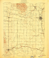
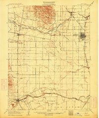
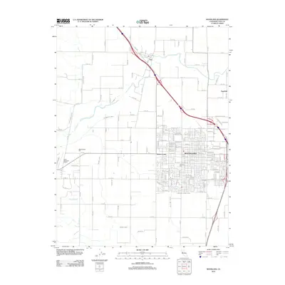
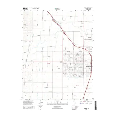
Loading map...1907 Map of Woodland
USGS Topo · Published 1907About this map
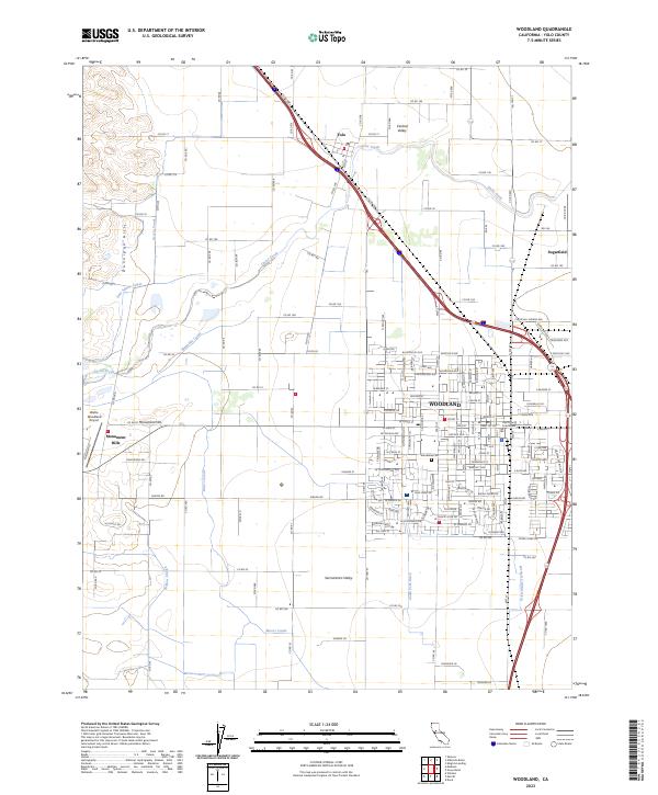
The agricultural landscape of the Sacramento Valley is captured here just after the turn of the century, defined by a complex network of water management and rail connections. Woodland Browns Corners serves as the primary hub, where the Southern Pacific R R Marysville Branch intersects with a grid of irrigation canals and sloughs. Water engineering is central to this era's growth, evidenced by the Moore Dam and a series of man-made waterways like the Adams Canal and Moore Canal that divert flow from Cache Creek across the plains.
Find a feature on this map
49 named features on this map. Tap any name to fly to it.
Don’t see what you’re looking for? This feature index may not catch every label — zoom into the map to look around manually.
Map Details
Date Portrayed1907
Date Published1907
PublisherU.S. Geological Survey
Map TypeTopographic
Scale1:62,500
Physical Dimensions16.6 x 19.9 inches
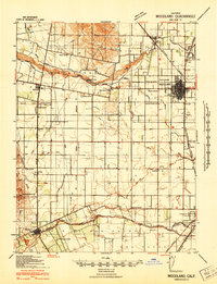
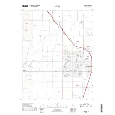
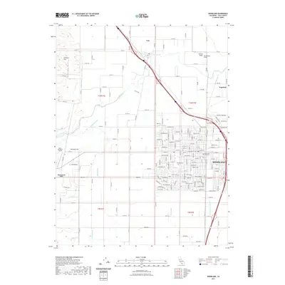
Editions of this 1907 Woodland Map
2 editions found
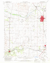
Historical Maps of Davis Through Time
9 maps found

Featured Locations
Source Details
SourceU.S. Geological Survey
CopyrightPublic Domain