
1910 Map of Knights Landing
USGS Topo · Published 1910About this map
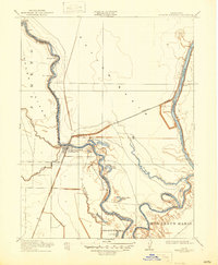
Knights Landing Grafton P O sits at the heart of this survey, serving as a primary hub where the Southern Pacific Branch railroad meets the winding course of the Sacramento River. The landscape is dominated by complex water systems, characterized by the broad Sutter Basin and the meandering channels of Sycamore Slough and Cache Creek Slough. The intricate river bends, such as Victor Bend and Railroad Bend, illustrate the historical challenge of managing the Central Valley's hydrology before modern levee systems were fully established.
Find a feature on this map
19 named features on this map. Tap any name to fly to it.
Don’t see what you’re looking for? This feature index may not catch every label — zoom into the map to look around manually.
Map Details
Editions of this 1910 Knights Landing Map
2 editions found
Other maps of this area

1907 · Dunnigan
USGS Topo · 1:62,500

1907 · Woodland
USGS Topo · 1:62,500

1907 · Davisville
USGS Topo · 1:62,500

1910 · Vernon
USGS Topo · 1:31,680

1910 · Nicolaus
USGS Topo · 1:31,680

1910 · Marcuse
USGS Topo · 1:31,680

1915 · Yolo
USGS Topo · 1:31,680

1915 · Ronda
USGS Topo · 1:31,680
1915 · Kirkville
USGS Topo · 1:31,680
1915 · Elkhorn Weir
USGS Topo · 1:31,680