
1910 Map of Marcuse
USGS Topo · Published 1910About this map
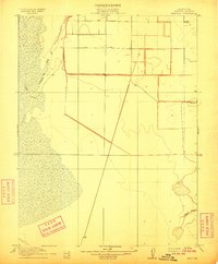
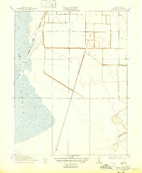
Agricultural development and the systematic partitioning of the Sacramento Valley define this 1908 survey, conducted under the direction of George Otis Smith. The settlement of Marcuse stands as a focal point in this landscape of Sutter County, where early twentieth-century land claims are marked by a rigid grid of township and range lines. This surveyed area illustrates the transition of the marshy valley floor into a productive farming region through an extensive network of drainage and transport routes.
Find a feature on this map
9 named features on this map. Tap any name to fly to it.
Don’t see what you’re looking for? This feature index may not catch every label — zoom into the map to look around manually.
Map Details
Editions of this 1910 Marcuse Map
3 editions found
Other maps of this area

1888 · Marysville
USGS Topo · 1:125,000

1891 · Marysville
USGS Topo · 1:125,000

1894 · Marysville
USGS Topo · 1:125,000

1895 · Marysville
USGS Topo · 1:125,000

1907 · Dunnigan
USGS Topo · 1:62,500

1910 · Knights Landing
USGS Topo · 1:31,680

1910 · Vernon
USGS Topo · 1:31,680

1910 · Nicolaus
USGS Topo · 1:31,680

1911 · Gilsizer Slough
USGS Topo · 1:31,680
1911 · Ostrom
USGS Topo · 1:31,680