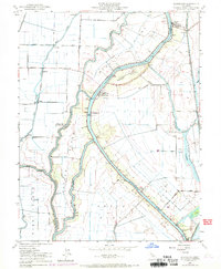
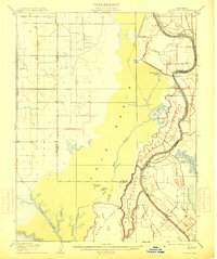
1908 Map of Courtland
USGS Topo · Published 1908About this map
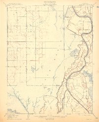
The Sacramento River and its intricate network of distributaries dominate this early 20th-century landscape, carving out a series of large riverine islands including Merritt Island, Grand Island, and Sutter Island. The region's economy and social structure are clearly tied to these waterways, with riverside settlements like Courtland, Clarksburg, and Freeport serving as vital hubs. The map illustrates an era of significant hydraulic modification, showing the Sacramento Drainage Canal and Tule Canal alongside natural features like Big Lake and Winchester Lake.
Find a feature on this map
40 named features on this map. Tap any name to fly to it.
Don’t see what you’re looking for? This feature index may not catch every label — zoom into the map to look around manually.
Map Details
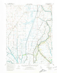
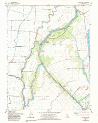
Editions of this 1908 Courtland Map
3 editions found
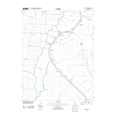
Historical Maps of Sacramento Through Time
8 maps found