Loading...
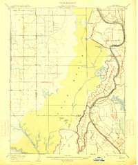
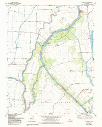
Loading map...1908 Map of Courtland
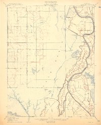
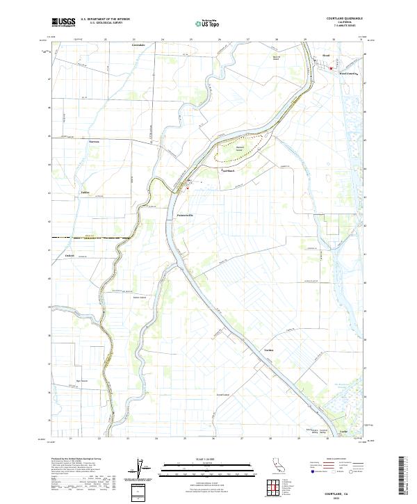
USGS Topo · Published 1914About this map
The Sacramento River and its intricate network of sloughs define this early 20th-century landscape, where the shifting boundary between land and water dictated human settlement. Along the river's eastern banks, established river towns like Clarksburg, Courtland, and Freeport served as vital hubs for the region's agricultural transport. The map documents a highly managed riverine environment, featuring a series of numbered piers, such as Pier 13 and Pier 19, and the industrial footprint of a Pumping Plant.
Find a feature on this map
51 named features on this map. Tap any name to fly to it.
Don’t see what you’re looking for? This feature index may not catch every label — zoom into the map to look around manually.
Map Details
Date Portrayed1908
Date Published1914
PublisherU.S. Geological Survey
Map TypeTopographic
Scale1:62,500
Physical Dimensions16.6 x 19.8 inches
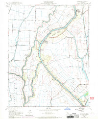
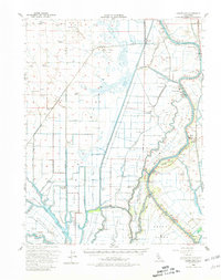
Editions of this 1908 Courtland Map
3 editions found

Historical Maps of Sacramento Through Time
8 maps found
Featured Locations
Source Details
SourceU.S. Geological Survey
CopyrightPublic Domain