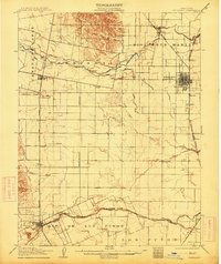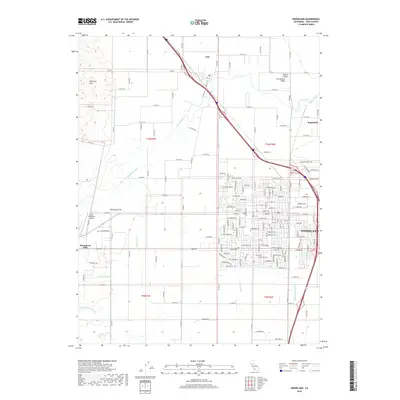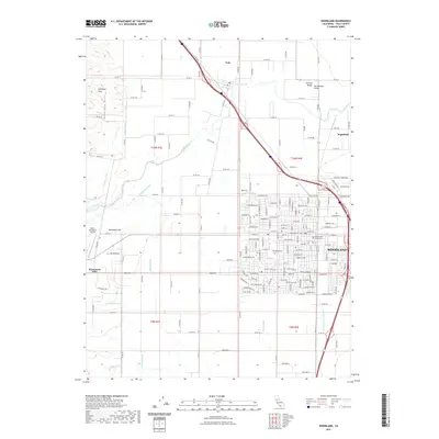
1941 Map of Woodland
USGS Topo · Published 1941About this map
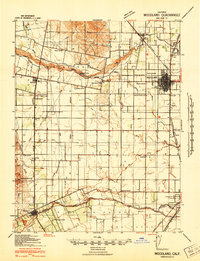
Agricultural development and water management define the landscape of the Sacramento Valley just before the Second World War. The city of Woodland serves as a regional hub, surrounded by a dense network of irrigation infrastructure including the Adams Canal, Moore Canal, and Pacific Canal. These systems, supported by the Moore Dam, transformed the arid plains into a productive corridor for the Southern Pacific railroad, which links the scattered rural stations of Citrona, Merritt, and Mill Spur.
Find a feature on this map
42 named features on this map. Tap any name to fly to it.
Don’t see what you’re looking for? This feature index may not catch every label — zoom into the map to look around manually.
Map Details
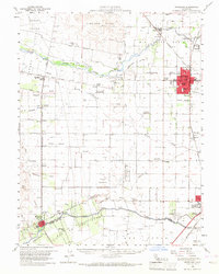
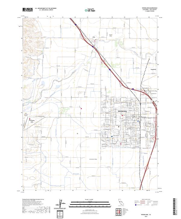
Editions of this 1941 Woodland Map
This is the sole edition of this map. No revisions or reprints were ever made.
Historical Maps of Davis Through Time
9 maps found