Loading...
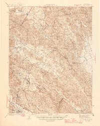
Loading map...1942 Map of St. Helena
USGS Topo · Published 1966About this map
St Helena sits at the southwestern edge of this 1942 survey, serving as a hub where the Southern Pacific railroad meets the Silverado Trail along the Napa River. Moving northeast, the landscape shifts from the valley floor into the steep terrain of Howell Mountain and the Las Posadas State Forest. The community of Angwin and the nearby Sanitarium reflect the specialized institutional development of the area during the early war years.
Find a feature on this map
54 named features on this map. Tap any name to fly to it.
Don’t see what you’re looking for? This feature index may not catch every label — zoom into the map to look around manually.
Map Details
Date Portrayed1942
Date Published1966
PublisherU.S. Geological Survey
Map TypeTopographic
Scale1:62,500
Physical Dimensions16.6 x 20.7 inches
Editions of this 1942 St. Helena Map
This is the sole edition of this map. No revisions or reprints were ever made.
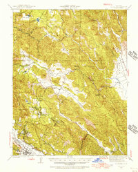
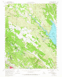
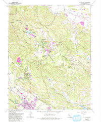
Historical Maps of Howell Mountain Through Time
4 maps found
Featured Locations
Source Details
SourceU.S. Geological Survey
CopyrightPublic Domain