
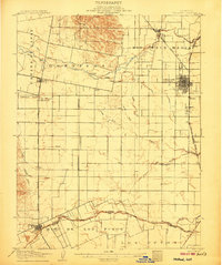
1921 Map of Mt. Vaca
USGS Topo · Published 1921About this map
Mt. Vaca dominates this 1921 tactical survey, overlooking a landscape defined by deep canyons and secluded agricultural basins. To the west, Wooden Valley and Capell Valley sit tucked away in the highlands, while the southeastern corner reveals the budding development of Fairfield along the S. P. R. R. rail line. The drainage patterns of Suisun Creek and Ledgewood Creek flow south toward the marshlands, illustrating the transition from the interior mountains to the Suisun Bay watershed. Smaller settlements like Manka and Atlas appear as quiet outposts connected by primitive roads and narrow valleys. The map shows a clear division between the steep, undeveloped terrain of George Mt. and Twin Sisters and the emerging infrastructure of the valley floor, providing a detailed record of Northern California before mid-century suburbanization changed the character of these ranching and farming communities.
Find a feature on this map
34 named features on this map. Tap any name to fly to it.
Don’t see what you’re looking for? This feature index may not catch every label — zoom into the map to look around manually.
Map Details
Editions of this 1921 Mt. Vaca Map
This is the sole edition of this map. No revisions or reprints were ever made.
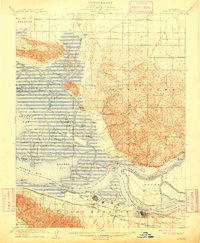
Other maps of this area

1896 · Carquinez Strait
USGS Topo · 1:62,500

1898 · Karquines
USGS Topo · 1:62,500

1901 · Karquines
USGS Topo · 1:62,500

1902 · Napa
USGS Topo · 1:125,000
1907 · Woodland
USGS Topo · 1:62,500

1907 · Antioch
USGS Topo · 1:62,500
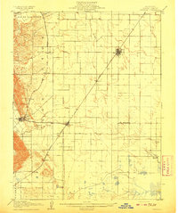
1908 · Vacaville
USGS Topo · 1:62,500
1908 · Antioch
USGS Topo · 1:62,500

1916 · Mare Island
USGS Topo · 1:62,500
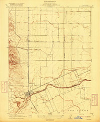
1916 · Winters
USGS Topo · 1:31,680