
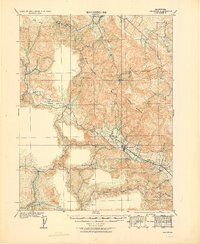
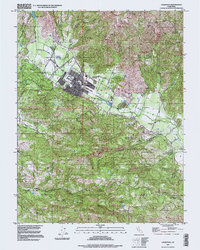
1943 Map of Calistoga
USGS Topo · Published 1955About this map
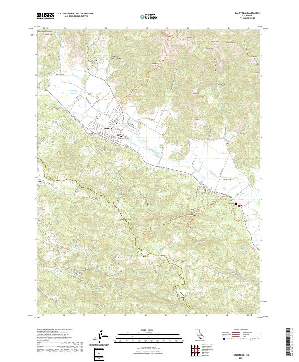
The volcanic terrain of the Mayacamas Mountains dominates this 1940s survey, illustrating a landscape defined by mercury and silver mining. Centered on Mount St Helena, the map details a complex web of industry where the Silverado Mine (abandoned) and Great Western Mine once operated alongside newer prospects like the Aetna Extension Mine. In the valley below, the Southern Pacific railroad terminates at Calistoga, a hub connecting the agricultural Napa River floor to the high timber and mineral claims. Rural life is anchored by a network of one-room schools, including Franz Valley Sch and Alpine Sch, while the famed Petrified Forest stands as a distinct geological landmark. The presence of the Toll House on the road north toward Middletown highlights the historical transit routes used before modern highway development bypassed these steep mountain passes.
Find a feature on this map
96 named features on this map. Tap any name to fly to it.
Don’t see what you’re looking for? This feature index may not catch every label — zoom into the map to look around manually.
Map Details
Editions of this 1943 Calistoga Map
This is the sole edition of this map. No revisions or reprints were ever made.
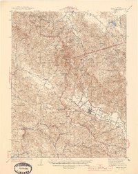
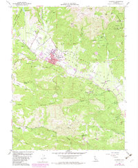
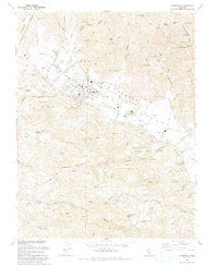
Historical Maps of Santa Rosa Through Time
11 maps found
1927 Calistoga
Napa County, CA
1943 Calistoga
Napa County, CA
1945 Calistoga
Napa County, CA
1958 Calistoga
Napa County, CA

1959 Calistoga
Napa County, CA
1993 Calistoga
Napa County, CA
1997 Calistoga
Napa County, CA
2012 Calistoga
Napa County, CA
2015 Calistoga
Napa County, CA
2018 Calistoga
Napa County, CA
2021 Calistoga
Napa County, CA