
1945 Map of Capay
USGS Topo · Published 1945About this map
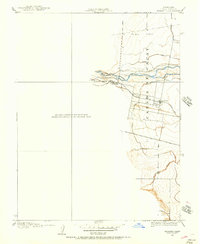
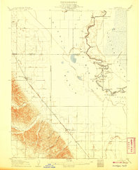
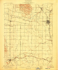
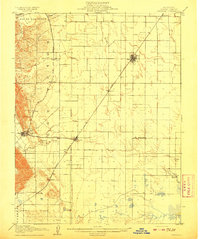
Berryessa Valley and the fertile Cañada de Capay anchor this mid-1940s landscape, captured just before major hydrological changes reshaped the region. The map documents the town of Monticello and numerous established ranchsteads like Gunn Ranch, Meeks Ranch, and Tibipa Ranch that defined the agricultural economy before the valley was inundated. In the eastern plains, the community of Esparto serves as a hub near the Old Capay Canal and the Hungry Hollow Canal, illustrating the complex irrigation network supporting local farms.
Find a feature on this map
74 named features on this map. Tap any name to fly to it.
Don’t see what you’re looking for? This feature index may not catch every label — zoom into the map to look around manually.
Map Details
Editions of this 1945 Capay Map
This is the sole edition of this map. No revisions or reprints were ever made.
Other maps of this area

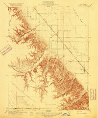
1902 · Napa
USGS Topo · 1:125,000
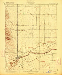
1905 · Esparto
USGS Topo · 1:24,000
1907 · Dunnigan
USGS Topo · 1:62,500
1907 · Woodland
USGS Topo · 1:62,500
1908 · Vacaville
USGS Topo · 1:62,500

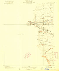
1916 · Jacobs Corner
USGS Topo · 1:31,680
1916 · Zamora
USGS Topo · 1:31,680
1916 · Winters
USGS Topo · 1:31,680
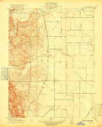
1916 · Esparto
USGS Topo · 1:31,680
1917 · Wolfskill
USGS Topo · 1:31,680