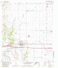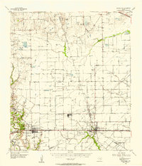
1955 Map of Brookshire
USGS Topo · Published 1957About this map
Brookshire and Katy anchor this mid-century landscape where the agricultural plains of Southeast Texas meet an expanding energy infrastructure. The 1955 survey captures the region at a point of industrial transition, evidenced by the extensive Hockley Oil Field and Fulshear Oil Field alongside traditional cattle operations like the Warren Ranch and Huffington Ranch. The western edge is defined by the winding course of the Brazos River, while the Missouri Kansas Texas railroad and the Jefferson Davis Highway provide the primary east-west transport corridors. Local genealogy is well-served by landmarks such as the Brookshire Sch, Curry Chapel, and the Magnolia Cem. Notable terrain features include Hockley Mound and Wolf Hill, which stand out against the drainage networks of Cypress Creek and Willow Fork Buffalo Bayou. The presence of a Salt Mine and several gravel pits further illustrates the diverse extractive economy of Waller and Harris Counties during this era.
Find a feature on this map
41 named features on this map. Tap any name to fly to it.
Don’t see what you’re looking for? This feature index may not catch every label — zoom into the map to look around manually.
Map Details
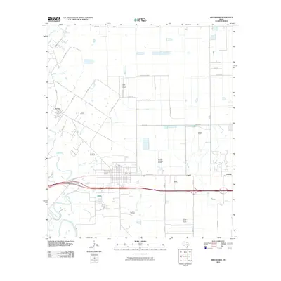
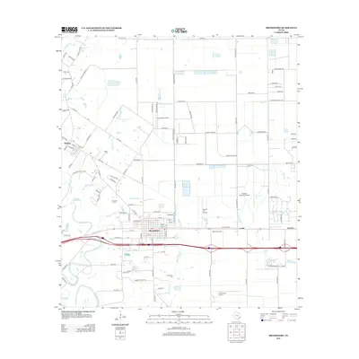
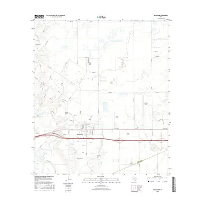
Editions of this 1955 Brookshire Map
This is the sole edition of this map. No revisions or reprints were ever made.
Historical Maps of Houston Through Time
7 maps found