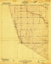
1915 Map of Katy
USGS Topo · Published 1915About this map
Katy sits at the convergence of Harris, Waller, and Fort Bend counties, shown here just before the era of major regional expansion. The small settlement grid is tightly aligned with the Missouri Kansas and Texas railroad, which served as the primary artery for local commerce. To the north, the landscape is defined by the winding paths of South Mayde Creek and Bear Creek, where the presence of Hagars Dam indicates early water management efforts in this prairie terrain. Rural education is anchored by the South Mayde School, positioned near the northern boundary. The map captures an early road network including Hockley Road and Stockdick Road, reflecting the initial agricultural development of the Texas Gulf Coast as it transitioned from open range to a more structured farm-to-market economy.
Find a feature on this map
13 named features on this map. Tap any name to fly to it.
Don’t see what you’re looking for? This feature index may not catch every label — zoom into the map to look around manually.
Map Details
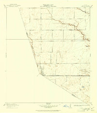
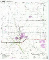
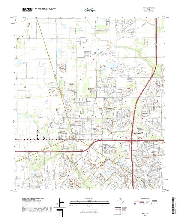
Editions of this 1915 Katy Map
3 editions found