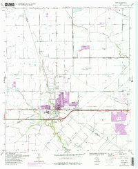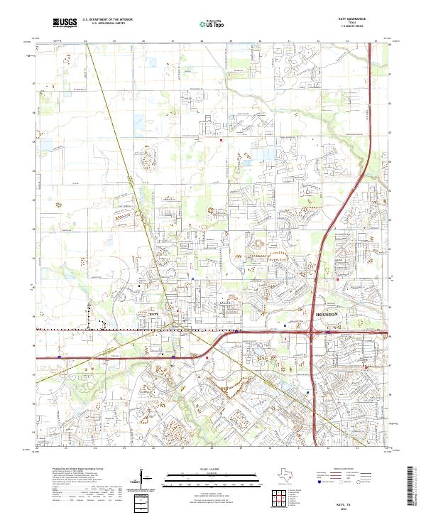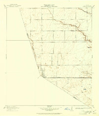
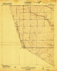
1915 Map of Katy
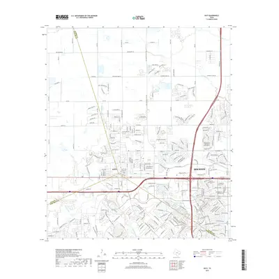
USGS Topo · Published 1961About this map
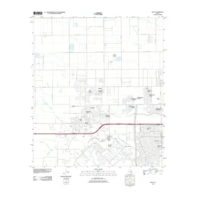
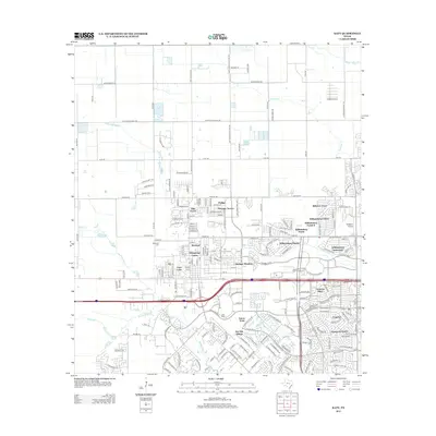
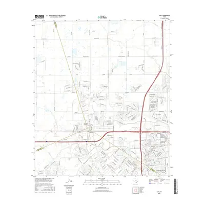
Katy sits at the southern edge of this 1915 survey, appearing as a compact settlement at the junction of Harris, Waller, and Fort Bend counties. The Missouri Kansas And Texas railroad cuts a straight horizontal path across the landscape, serving as the primary commercial artery for the region's early 20th-century economy. North of the town, the terrain is defined by the winding drainages of Buffalo Bayou, South Mayde Creek, and Bear Creek, which provide natural relief to the otherwise level coastal prairie. Local education and community life are anchored by the rural South Mayde School and Stockdick School, while arterial routes like Hockley and Stockdick roads link the scattered farmsteads. This map reveals a pre-industrial landscape where the placement of schoolhouses and watercourses dictated the pace of development long before the modern expansion of the Houston metropolitan area.
Find a feature on this map
12 named features on this map. Tap any name to fly to it.
Don’t see what you’re looking for? This feature index may not catch every label — zoom into the map to look around manually.
Map Details
Editions of this 1915 Katy Map
3 editions found

Historical Maps of Houston Through Time
7 maps found