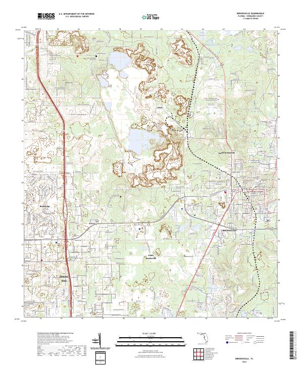
2024 Map of Brooksville
USGS Topo · Published 2024About this map
Brooksville serves as the focal point of this Hernando County landscape, anchored by the Hernando Broad St County Courthouse and the surrounding street grid. The area exhibits a mix of established residential patterns and educational development, notably the Pasco - Hernando State College North Campus. Local history is preserved at sites like the Community Baptist Church Cem and Springhill Cem, while the natural geography is defined by water bodies such as Horse Lake and Willow Prairie Lake. To the west and south, the development of Spring Hill and Brookridge represents the expansion of modern communities near the older settlements of Wiscon and North Brooksville. The topography is subtly marked by features like Bailey Hill, providing a glimpse into the physical character of this part of the Florida peninsula.
Find a feature on this map
278 named features on this map. Tap any name to fly to it.
Don’t see what you’re looking for? This feature index may not catch every label — zoom into the map to look around manually.
Map Details
Editions of this 2024 Brooksville Map
This is the sole edition of this map. No revisions or reprints were ever made.
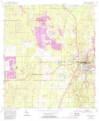
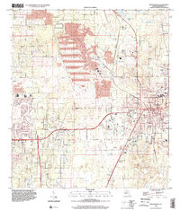
Historical Maps of Tooke Lake Junction Through Time
3 maps found