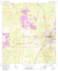
1954 Map of Brooksville
USGS Topo · Published 1988About this map
Brooksville serves as the focal point of this mid-century Florida survey, revealing a landscape defined by significant industrial activity and early residential development. Large-scale quarry operations and associated tailings ponds dominate the central terrain, signaling the importance of mining to the local economy during this era. Evidence of changing transportation patterns is visible in the dismantled RR lines that once connected these extraction sites to wider markets.
Find a feature on this map
29 named features on this map. Tap any name to fly to it.
Don’t see what you’re looking for? This feature index may not catch every label — zoom into the map to look around manually.
Map Details
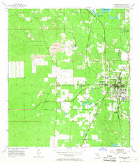
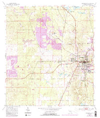
Editions of this 1954 Brooksville Map
4 editions found
Other maps of this area

1954 · Spring Lake
USGS Topo · 1:24,000

1954 · Brooksville NW
USGS Topo · 1:24,000

1954 · Nobleton
USGS Topo · 1:24,000

1954 · Brooksville
USGS Topo · 1:24,000

1954 · Chassahowitzka
USGS Topo · 1:24,000

1954 · Masaryktown
USGS Topo · 1:24,000

1954 · Brooksville SE
USGS Topo · 1:24,000

1954 · Weekiwachee Springs
USGS Topo · 1:24,000

1954 · Port Richey NE
USGS Topo · 1:24,000

1955 · Plant City
USGS Topo · 1:250,000