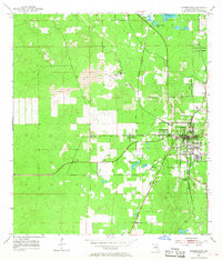
1954 Map of Brooksville
USGS Topo · Published 1968About this map
Brooksville serves as the focal point of this mid-century survey, showing the city's concentrated grid and the surrounding agricultural and industrial landscape of Hernando County. The region's extraction industry is highly visible through several Quarries and a large Tailings Pond located northwest of the main settlement. Small communities like Spring Hill and Camps are situated along the transportation corridors, while the Seaboard Air Line railroad provides a critical link for the area's movement of goods and people.
Find a feature on this map
17 named features on this map. Tap any name to fly to it.
Don’t see what you’re looking for? This feature index may not catch every label — zoom into the map to look around manually.
Map Details
Editions of this 1954 Brooksville Map
4 editions found
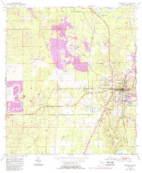
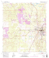
Other maps of this area

1954 · Spring Lake
USGS Topo · 1:24,000

1954 · Brooksville NW
USGS Topo · 1:24,000

1954 · Nobleton
USGS Topo · 1:24,000

1954 · Brooksville
USGS Topo · 1:24,000

1954 · Chassahowitzka
USGS Topo · 1:24,000

1954 · Masaryktown
USGS Topo · 1:24,000

1954 · Brooksville SE
USGS Topo · 1:24,000

1954 · Weekiwachee Springs
USGS Topo · 1:24,000

1954 · Port Richey NE
USGS Topo · 1:24,000

1955 · Plant City
USGS Topo · 1:250,000