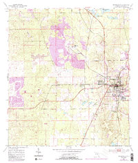
1954 Map of Brooksville
USGS Topo · Published 1988About this map
The county seat of Brooksville serves as the central hub of this mid-century Florida landscape, shown just as development began to expand westward toward the Gulf coast. Heavy industry is a defining characteristic of the terrain north and west of the city, dominated by a large Quarry complex and extensive Tailings Pond systems that reflect the region's limestone mining heritage. Smaller settlements like Wiscon and Camps dot the outlying areas, connected by a growing network of roads including Routes 41 and 98. The landscape is a mosaic of sinkhole lakes and wetlands typical of the Brooksville Ridge, with prominent water bodies such as Simmons Prairie Lake and Horse Lake nestled among the rolling contours of Barley Hill. This survey captures the transition from a rural, resource-based economy to a more residential character, evidenced by the emerging Trailer Park locations and a Golf Course appearing on the western edge of town.
Find a feature on this map
27 named features on this map. Tap any name to fly to it.
Don’t see what you’re looking for? This feature index may not catch every label — zoom into the map to look around manually.
Map Details
Editions of this 1954 Brooksville Map
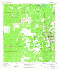
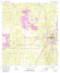
4 editions found
Other maps of this area

1954 · Spring Lake
USGS Topo · 1:24,000

1954 · Brooksville NW
USGS Topo · 1:24,000

1954 · Nobleton
USGS Topo · 1:24,000

1954 · Brooksville
USGS Topo · 1:24,000

1954 · Chassahowitzka
USGS Topo · 1:24,000

1954 · Masaryktown
USGS Topo · 1:24,000

1954 · Brooksville SE
USGS Topo · 1:24,000

1954 · Weekiwachee Springs
USGS Topo · 1:24,000

1954 · Port Richey NE
USGS Topo · 1:24,000

1955 · Plant City
USGS Topo · 1:250,000