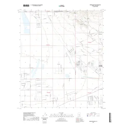
2018 Map of Brown Mountain
USGS Topo · Published 2018About this map
Saguaro National Park dominates the northern landscape of this Pima County region, where the high peaks of the Tucson Mountains overlook a complex network of recreational and historical sites. The famed film studio and theme park at Old Tucson sits nestled near Brown Mtn, serving as a cultural landmark amidst the arid terrain. To the south, the industrial and residential footprint expands with the residential blocks of Tucson Estates and the aviation hub at Ryan Field.
Find a feature on this map
29 named features on this map. Tap any name to fly to it.
Don’t see what you’re looking for? This feature index may not catch every label — zoom into the map to look around manually.
Map Details
Editions of this 2018 Brown Mountain Map
This is the sole edition of this map. No revisions or reprints were ever made.
Other maps of this area

1925 · San Xavier
USGS Topo · 1:62,500

1934 · Tucson Mountains
USGS Topo · 1:125,000

1941 · Cocoraque Butte
USGS Topo · 1:62,500

1943 · Cocoraque Butte
USGS Topo · 1:62,500

1943 · San Xavier Mission
USGS Topo · 1:62,500

1947 · Cortaro
USGS Topo · 1:62,500

1956 · Tucson
USGS Topo · 1:250,000

1957 · San Xavier Mission
USGS Topo · 1:62,500

1957 · Cortaro
USGS Topo · 1:62,500

1958 · Tucson
USGS Topo · 1:250,000