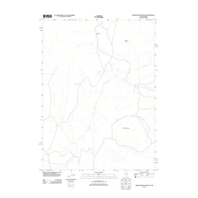
2012 Map of Browns Bench Ranch
USGS Topo · Published 2012About this map
Browns Bench Ranch sits at the northern edge of a high-altitude landscape defined by the prominent Browns Bench ridge and Grassy Mountain. This high-country region near the Idaho-Nevada border is characterized by its vital water sources, including Burnt Creek Spring and Upper Maggie Spring, which support the seasonal ranching operations of Twin Falls County. The drainage network is dominated by Cottonwood Creek, which carves through the terrain, illustrating the geographic isolation and specialized land use of the eastern Owyhee region. The presence of these named springs and the central ranch hub indicates the ongoing importance of water rights and livestock grazing in this high-desert environment during the early 21st century.
Find a feature on this map
6 named features on this map. Tap any name to fly to it.
Don’t see what you’re looking for? This feature index may not catch every label — zoom into the map to look around manually.
Map Details
Editions of this 2012 Browns Bench Ranch Map
This is the sole edition of this map. No revisions or reprints were ever made.
Other maps of this area

1955 · Twin Falls
USGS Topo · 1:250,000

1955 · Wells
USGS Topo · 1:250,000

1957 · Contact
USGS Topo · 1:62,500

1957 · Delaplain
USGS Topo · 1:62,500

1958 · Wells
USGS Topo · 1:250,000

1958 · Twin Falls
USGS Topo · 1:250,000

1961 · Wells
USGS Topo · 1:250,000

1977 · Browns Bench South
USGS Topo · 1:24,000

1978 · Taylor Canyon
USGS Topo · 1:24,000
1978 · Meteor
USGS Topo · 1:24,000