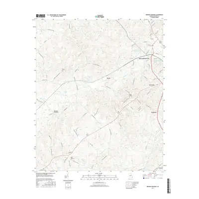
2017 Map of Browns Crossing
USGS Topo · Published 2017About this map
Milledgeville anchors the northeastern corner of this Baldwin County landscape, where the urban grid gives way to the drainage basins of Fishing Creek and Little Fishing Creek. This 2017 study illustrates the modern topography of central Georgia, showing the expansion of Hardwick and Allenwood alongside long-established rural points like Browns Crossing. The map is particularly useful for genealogical research, documenting several family and community burial sites such as the Leonard Smith Cemetery and David Hill Cemetery, alongside church properties like Hopewell Methodist Churchyard and Salem Baptist Churchyard.
Find a feature on this map
88 named features on this map. Tap any name to fly to it.
Don’t see what you’re looking for? This feature index may not catch every label — zoom into the map to look around manually.
Map Details
Editions of this 2017 Browns Crossing Map
This is the sole edition of this map. No revisions or reprints were ever made.
Other maps of this area

1912 · Milledgeville
USGS Topo · 1:62,500

1916 · Irwinton
USGS Topo · 1:62,500

1920 · Irwinton
USGS Topo · 1:62,500

1953 · Athens
USGS Topo · 1:250,000

1956 · Gordon
USGS Topo · 1:62,500

1957 · Macon
USGS Topo · 1:250,000

1958 · Macon
USGS Topo · 1:250,000

1958 · Athens
USGS Topo · 1:250,000

1959 · Athens
USGS Topo · 1:250,000

1963 · Athens
USGS Topo · 1:250,000