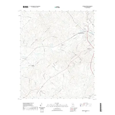
2020 Map of Browns Crossing
USGS Topo · Published 2020About this map
Fishing Creek and its many tributaries carve a complex drainage pattern across this section of Baldwin County, defining the rural character of settlements like Browns Crossing and Blandy. The landscape is dotted with small, family and community burial grounds, including the Leonard Smith Cem, David Hill Cem, and the Camp Creek Cem, providing a significant spatial record for genealogical research in the area northwest of Milledgeville.
Find a feature on this map
95 named features on this map. Tap any name to fly to it.
Don’t see what you’re looking for? This feature index may not catch every label — zoom into the map to look around manually.
Map Details
Editions of this 2020 Browns Crossing Map
This is the sole edition of this map. No revisions or reprints were ever made.
Other maps of this area

1912 · Milledgeville
USGS Topo · 1:62,500

1916 · Irwinton
USGS Topo · 1:62,500

1920 · Irwinton
USGS Topo · 1:62,500

1953 · Athens
USGS Topo · 1:250,000

1956 · Gordon
USGS Topo · 1:62,500

1957 · Macon
USGS Topo · 1:250,000

1958 · Macon
USGS Topo · 1:250,000

1958 · Athens
USGS Topo · 1:250,000

1959 · Athens
USGS Topo · 1:250,000

1963 · Athens
USGS Topo · 1:250,000