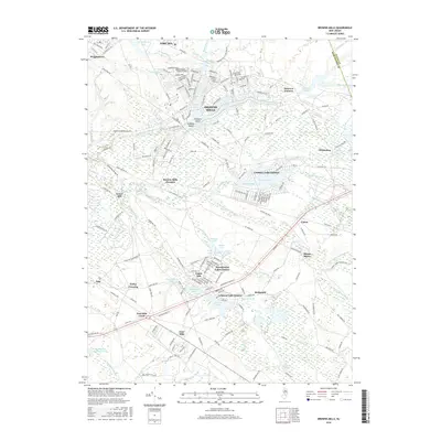
2016 Map of Browns Mills
USGS Topo · Published 2016About this map
Browns Mills serves as a central hub in this Pine Barrens landscape, where the North Branch Rancocas Creek meets a complex network of residential estates and historic industrial sites. To the north, the sprawling grounds of Fort Dix dominate the border near Wrightstown, while the eastern reaches highlight the legacy of the local cranberry and iron industries at Whitesbog and Hanover Furnace. The map illustrates a transition from the structured military and residential grids of Country Lake Estates and Presidential Lakes Estates to the dense hydrologic networks of the south.
Find a feature on this map
179 named features on this map. Tap any name to fly to it.
Don’t see what you’re looking for? This feature index may not catch every label — zoom into the map to look around manually.
Map Details
Editions of this 2016 Browns Mills Map
This is the sole edition of this map. No revisions or reprints were ever made.
Other maps of this area

1884 · Whitings
USGS Topo · 1:62,500

1888 · Bordentown
USGS Topo · 1:62,500

1888 · Pemberton
USGS Topo · 1:62,500

1888 · Cassville
USGS Topo · 1:62,500

1888 · Whitings
USGS Topo · 1:62,500

1893 · Bordentown
USGS Topo · 1:62,500

1894 · Cassville
USGS Topo · 1:62,500

1894 · Pemberton
USGS Topo · 1:62,500

1898 · Pemberton
USGS Topo · 1:62,500

1900 · Cassville
USGS Topo · 1:62,500
Featured Places
- Southampton Township, NJ
- Plumsted Township, NJ
- Wrightstown, NJ
- Lebanon Lake Estates, NJ
- Ong's Hat, Southampton Township