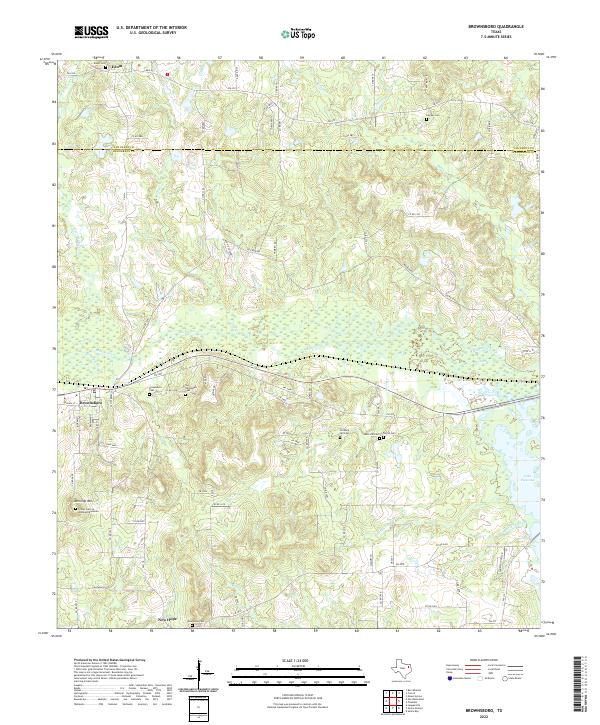
2022 Map of Brownsboro
USGS Topo · Published 2022About this map
Brownsboro sits at the heart of this Henderson County landscape, serving as a focal point for a network of rural roads that stretch toward the Van Zandt County line. The terrain is defined by the winding paths of Kickapoo Creek and its many tributaries, such as Murchison Creek and Battle Creek, which carve through the wooded hills and bottomlands. To the south, the waters of Lake Palestine begin to dominate the geography, fed by drainage from Cottonwood Creek and Martin Spring Branch.
Find a feature on this map
87 named features on this map. Tap any name to fly to it.
Don’t see what you’re looking for? This feature index may not catch every label — zoom into the map to look around manually.
Map Details
Editions of this 2022 Brownsboro Map
This is the sole edition of this map. No revisions or reprints were ever made.
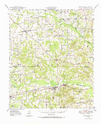
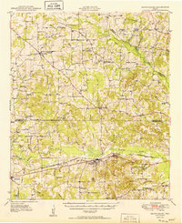
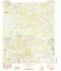
Historical Maps of Edom Through Time
4 maps found